One Gold Country river hides three swimming holes worth a full day trip, and the water isn’t as calm as it looks
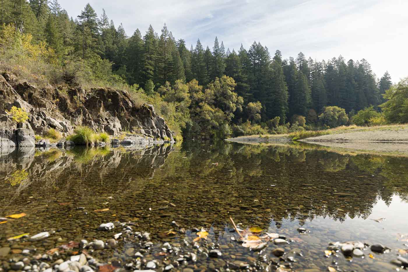
The South Yuba River carves through Nevada County with some of the clearest, most photogenic water in the Sierra foothills. Locals have known about it for decades — polished granite, emerald pools, the whole Gold Country package.
The same current that shaped all that granite has also caused real drownings on this river, and that’s worth knowing before you load up the cooler. Three crossings along this stretch — Highway 49, Purdon, and Edwards — each offer a different version of the same water. String two or three together and you’ve got a full day, not just a quick dip.
Psst — we made you a West Coast Adventure Map. Nearly 1,900 of our favorite spots, already pinned, ready to load into Google Maps in two clicks — grab it here.
Highway 49 Crossing and Hoyt’s Trail
This is the easiest of the three to reach — right off Highway 49 between Nevada City and Downieville, under a bridge built in 1921. Hoyt’s Trail starts at the old bridge and follows the river upstream to a string of granite pools.
AllTrails clocks the out-and-back at 1.6 miles with about 341 feet of climbing, rated moderate. It’s popular for a reason: warm granite slabs, easy access, and the kind of clear green water people drive two hours from the Bay Area for. Show up early on a weekend if you want any of those slabs to yourself.
📍 GET THE ULTIMATE CALIFORNIA MAP 🗺️
Get our curated list of the best adventures and things to do north of LA loaded onto your maps with just two clicks!
✅ Waterfalls ✅ Hikes ✅ Viewpoints
✅ National Parks ✅ 1400+ Pins
Purdon Crossing
Purdon Crossing feels more remote the moment you turn off North Bloomfield Road. The last stretch is gravel and drops steeply into the canyon, so take it slow and leave the low-clearance sedan questions at home. The 1895 bridge here is worth a photo on its own.
The actual swimming holes sit a short walk upstream from the bridge, boulder-hopping the whole way — no sandy beach, just granite. Parking is limited, so this one rewards showing up before mid-morning.
Edwards Crossing and the trail that connects them
If Highway 49 and Purdon are the destinations, the trail linking Edwards Crossing to Purdon Crossing is the reason to make a full day of it. AllTrails lists it as a 4.2-mile point-to-point route, moderate difficulty, best hiked March through October, with river access along the way.
Do it as an out-and-back from either end, or shuttle a car and hike it one direction. Either way, watch for poison oak along the banks — it shows up constantly on this stretch.
About that current
None of this is a reason to skip the river, but the South Yuba earns its warnings honestly. The water starts as Sierra snowmelt and stays cold enough to trigger cold-water shock even on a 90-degree day. Nevada County has documented drownings on this river over the years, concentrated in spring and early summer when flows run highest.
By Labor Day, flows are typically much calmer, but the current can still surprise you around boulders and drop-offs. Wear water shoes, don’t swim alone, and check the South Yuba River State Park site before you go if conditions have been unusual.
The main Highway 49 crossing area charges a $10 vehicle day-use fee, payable at the self-service kiosk in the parking lot. A California Golden Poppy Pass or Explorer Pass covers it, but federal passes don’t. The BLM-managed section of trail between Purdon and Edwards Crossings is federal land instead, so an America the Beautiful Pass applies there.
If the South Yuba has you craving more, we’ve mapped out 11 more swimming holes across California worth the drive.
Trip tips: grab a rental car to get out here, lock in your hotel before the good rooms are gone, or skip both and book a camper van instead.
Rules and fees change — always confirm current requirements before you go.