
The 1989 earthquake that collapsed part of the Bay Bridge started under a Santa Cruz redwood forest, and you can hike to the spot
Photo note: the two Nisene Marks library images have empty captions (the credit to Yuval Helfman lives only in the file’s copyright metadata), so they’re inserted as-is with no caption. Add a credit caption in the media library if you want one shown.
At 5:04 p.m. on October 17, 1989, two slabs of rock slipped 11 miles beneath a quiet redwood canyon outside Aptos. Twenty seconds later, a section of the Bay Bridge had fallen and a World Series was on hold. The spot on the surface directly above all that chaos? A trail sign in the woods.
It’s in The Forest of Nisene Marks State Park, and it might be the strangest famous place in California. No visitor center, no crowds, no souvenir stand, just a creek, a fence, and a forest full of redwoods that grew back after this canyon was logged flat. This October 17 marks 37 years since the quake, which makes right now a pretty good time to go stand on it.
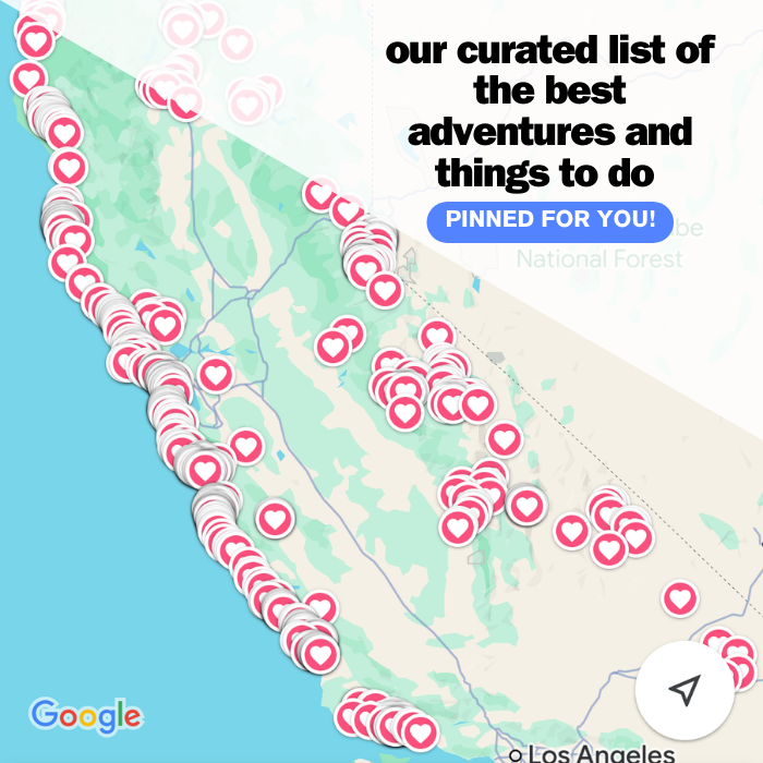
Psst — we made you a West Coast Adventure Map. Nearly 1,900 of our favorite spots, already pinned, ready to load into Google Maps in two clicks — grab it here.
What actually happened here
The Loma Prieta earthquake hit magnitude 6.9, and the shaking lasted 20 seconds. The rupture ran 30 miles along the southern end of the San Andreas fault, starting 11 miles down, which is deeper than a typical California quake.
Up north, the damage was brutal. The elevated Cypress Structure of I-880 in Oakland collapsed, a section of Bay Bridge roadbed dropped, 63 people were killed, and the Giants-A’s World Series was postponed.
Down here at the source, the forest took the hit differently. USGS geologists have documented massive landslides along the park’s Big Slide Trail that the quake helped set off, with tree trunks that bent as the ground rotated beneath them and the trees kept reaching back toward vertical.
📍 GET THE ULTIMATE CALIFORNIA MAP 🗺️
Get our curated list of the best adventures and things to do north of LA loaded onto your maps with just two clicks!
✅ Waterfalls ✅ Hikes ✅ Viewpoints
✅ National Parks ✅ 1400+ Pins

A forest that was logged flat, then left alone
Here’s the part that makes the epicenter feel even eerier: almost none of these redwoods are old. The Loma Prieta Lumber Company started clear-cutting this canyon in 1883 and hauled out 140 million board feet of redwood before the mill was mostly dismantled in 1924.
In 1963, the Marks family of Salinas deeded more than 9,000 acres to the state and named the park after family matriarch Nisene Marks. The park now covers nearly 10,000 acres, and the second growth has had about a century to fill back in, thick, green, and dim enough that the canyon feels a lot older than it is.

Hiking to the epicenter
The route follows Aptos Creek Fire Road up the canyon, then cuts onto the Aptos Creek Trail, where a plain brown sign and a fence mark the spot. It lists the date, the time, the magnitude, and the coordinates, and that’s about it.
The round trip from the Porter Family Picnic Area runs [[VERIFY: epicenter round-trip miles + elevation gain from Porter Family Picnic Area]].
Honest take: the sign itself is underwhelming, and that’s kind of the point. You’re standing in a hushed creek canyon with ferns everywhere, trying to square it with the fact that this exact patch of ground rearranged the Bay Area. Is there a weirder place to stand in California?
Which lots and gates are open shifts through the year, and that changes your mileage, so check the park’s official page before you go.
Stretch it into a full day
Feeling strong? The Aptos Creek Trail keeps climbing past the epicenter all the way to Five Finger Falls, a 13-mile round trip from the Porter Picnic Area with 500 feet of elevation gain. Bring real snacks for that one.
Want something shorter? Maple Falls is a 7-mile round trip from Porter with 300 feet of gain, tucked up the Bridge Creek drainage.

History nerds, this one’s yours. The Loma Prieta Grade Trail follows an old logging railroad grade and runs 4.6 miles round trip from Porter with 350 feet of gain, and along the grade sits Hoffman’s Historic Site, a camp that once housed 100 loggers and mill workers.
Building a whole weekend around it? Our roundup of the best hikes in Santa Cruz has more trails nearby, including a longer loop through this same forest.
Before you go
There’s a vehicle day-use fee of around $8. Dogs are allowed only on Aptos Creek Fire Road and a handful of single-track trails below the steel bridge, on a leash no longer than six feet.
It’s fall, so glance at the park page for any closures or fire-season updates before you drive out. Afterward, the coast is right there, so pick from our favorite things to do in Santa Cruz or the best beaches in Santa Cruz for the rest of the day.
So, would you hike out to the spot where the 1989 quake started, or is standing on top of the San Andreas a hard pass? Tell us in the comments.
Trip tips: grab a rental car to get out here, lock in your hotel before the good rooms are gone, or skip both and book a camper van instead.
Rules and fees change — always confirm current requirements before you go.