The only road into Kings Canyon’s Cedar Grove shuts for winter in mid-November, and the easy walks at the bottom are worth the drive now
Kings Canyon is the national park a lot of Californians keep meaning to get to. Its best corner, Cedar Grove, sits at the end of a single road that drops deep into the canyon, and that road is about to close for the winter.
The park expects Highway 180 to Cedar Grove to shut on November 13, and it typically doesn’t reopen until late April. If you’ve been putting this one off, the next few weeks are your window.
Psst, we made you a West Coast Adventure Map. Nearly 1,900 of our favorite spots, already pinned, ready to load into Google Maps in two clicks: grab it here.
The drive is half the point
Highway 180 winds down from the Grant Grove area into the canyon, with the Kings River getting louder and the granite walls climbing higher the farther you go. The Park Service figures about an hour from the Kings Canyon Visitor Center to Road’s End, and you’ll want every pullout along the way.
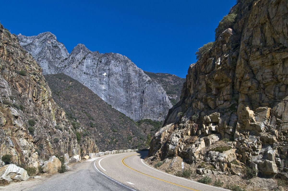
This road hasn’t been around forever, either. Before Highway 180 opened in 1939, the main way into Cedar Grove was the Don Cecil Trail, which still climbs the canyon’s north-facing slope today.
On the way down, Grizzly Falls makes an easy leg-stretch. It’s a day-use picnic area in Sequoia National Forest with no fee, and the Forest Service asks visitors to stay off the slippery boulders around the falls.
📍 GET THE ULTIMATE CALIFORNIA MAP 🗺️
Get our curated list of the best adventures and things to do north of LA loaded onto your maps with just two clicks!
✅ Waterfalls ✅ Hikes ✅ Viewpoints
✅ National Parks ✅ 1400+ Pins

Three easy stops at the bottom
Roaring River Falls is the quickest payoff in the park: about 0.4 miles round trip on a paved, shady path to a waterfall blasting through a granite chute. The steepest grades were eased in 2017, so it’s one of the more accessible walks in Cedar Grove.
Zumwalt Meadow is the one to linger over. A 2019 flood washed out parts of the old loop, so it’s now an out-and-back: 0.8 miles round trip to the meadow view, crossing the Kings River on a bridge along the way.
If that’s the only walk you do here, you made the right call. The meadow, the river, and those sheer granite walls stacked behind them are Cedar Grove in one frame.
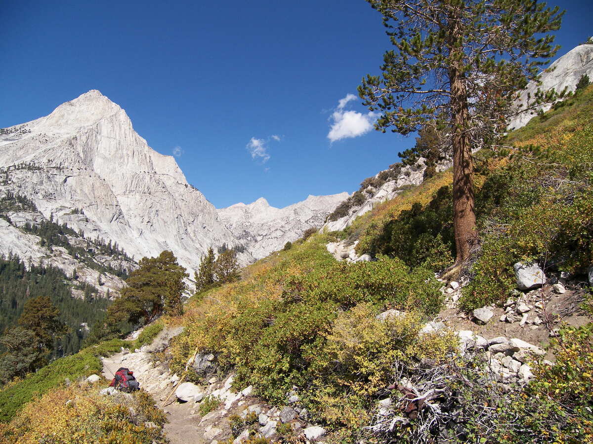
Muir Rock sits at Road’s End, the literal end of the pavement. It’s a big granite boulder on the Kings River named for John Muir, reached by a short dirt path from the parking area.
Want more miles? Mist Falls starts just past the Road’s End permit station and runs about 8 miles round trip, following a sandy trail up the South Fork canyon past river rapids.
Know before you go
Services are winding down fast. Cedar Grove Lodge, the market, the grill, and Sheep Creek Campground are open through October 25, so after that, pack your own food and plan to sleep elsewhere.
Entry to Kings Canyon is $35 per vehicle for a 7-day pass covering both Sequoia and Kings Canyon. If you hit national parks and forests more than a couple of times a year, an America the Beautiful pass covers the entrance fee here too.
Road’s End is a very active bear area, so use the food storage lockers instead of leaving snacks in the car. The river can look calm while hiding slippery rocks and strong currents, and the Park Service says drowning is the leading cause of death in these parks, so admire it from the bank.
Dogs aren’t allowed on any trails in the park. The closing date can also shift with an early storm, so check the park’s road conditions page right before you head up.
So, are you squeezing Cedar Grove in before the gate closes, or saving it for spring? Tell us which stop you’d hit first.
Trip tips: grab a rental car to get out here, lock in your hotel before the good rooms are gone, or skip both and book a camper van instead.
Rules and fees change, so always confirm current requirements before you go.