This California coastline is the longest undeveloped stretch outside Alaska, and three sections only open on the tide’s schedule
There’s a stretch of California coastline with no road running through it — not a fire lane, not a scenic pullout, nothing. The King Range’s cliffs plunge so hard into the Pacific that highway engineers never finished a route through, and by the Bureau of Land Management’s own account, the terrain is simply “too rugged for highways.”
That gap is the Lost Coast, and its King Range National Conservation Area holds the longest stretch of undeveloped coastline in the US outside Alaska. Hike its signature trail end to end and a map isn’t enough — you need a tide chart, because three stretches of it disappear underwater if you time it wrong.
Psst — we made you a West Coast Adventure Map. Nearly 1,900 of our favorite spots, already pinned, ready to load into Google Maps in two clicks — grab it here.
Why there’s no road here
The mountains rise so fast from the surf that King Peak tops out at 4,088 feet just three miles from the water. That gap between mountain and ocean became the nation’s very first National Conservation Area in 1970 — 68,000 acres and 35 miles of coastline that still doesn’t have a road running through it.
📍 GET THE ULTIMATE CALIFORNIA MAP 🗺️
Get our curated list of the best adventures and things to do north of LA loaded onto your maps with just two clicks!
✅ Waterfalls ✅ Hikes ✅ Viewpoints
✅ National Parks ✅ 1400+ Pins
The three stretches where the ocean decides
Most of the trail is flat beach and bluff walking, but three named zones turn genuinely dangerous at the wrong tide. Punta Gorda floods above a 6-foot tide, the four miles between Sea Lion Gulch and Randall Creek need it under 2.5 feet, and Miller Flat to Gitchell Creek needs under 3 feet.
There’s no bluff to climb to in those zones — just narrow beach pinned against vertical rock — so the rule from land managers is simple: always enter on a receding tide, and never assume low tide alone means it’s safe to cross.
One rule holds everywhere on this trail, tide or no tide: the water itself is off-limits. Rip currents, undertow, and sneaker waves that show up without warning make swimming or wading genuinely dangerous, and BLM doesn’t run a search-and-rescue team out here — self-rescue is the expectation.
What it actually takes to hike it
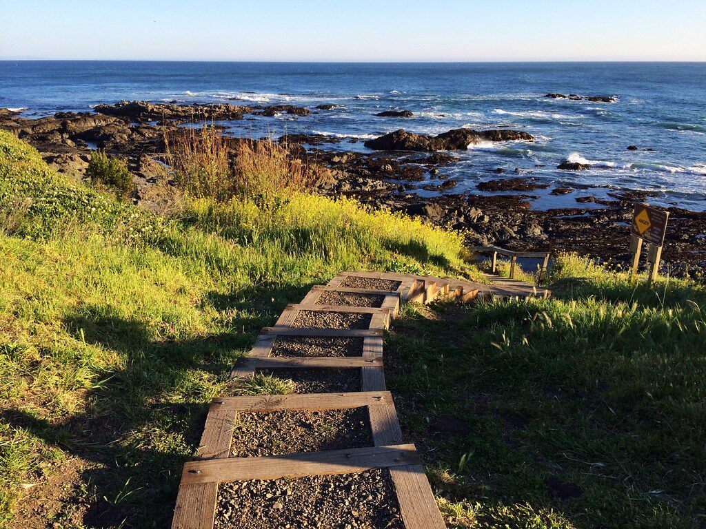
The trail’s classic route runs 24.6 miles from Mattole Beach to Black Sands Beach in Shelter Cove, and BLM recommends budgeting at least three days. Day hiking needs no permit, but any overnight stay requires a wilderness permit booked through Recreation.gov — $6 per reservation plus $12 per person for the trip, with kids under 16 hiking free.
Permits release on a rolling 90-day window, with a small first-come lottery for walk-up permits at the King Range Visitor Center. Bring a hard-sided bear canister since bear bags aren’t allowed, and skip the campfire between June 19 and September 30, when they’re banned outright.
Plan your shuttle before anything else: Mattole Beach and Black Sands Beach sit about two hours apart by car, so this is a two-vehicle hike unless you hire a local shuttle service.
Most trails just ask for good boots. This one asks you to build your whole itinerary around the ocean’s schedule — would you still go?
Trip tips: grab a rental car to shuttle between trailheads, book a hotel for the night before, or skip both and pull a camper van right up to the trailhead instead.
Rules and fees change — always confirm current requirements before you go.