This California hike ends with 180 stairs bolted straight into a cliff, and the view is two alpine lakes at once
Two miles north of a Sierra town with about 200 year-round residents, a granite mountain shoots up so fast and so sheer that Forest Service crews once had to bolt a staircase straight into the rock just to get hikers to the top safely. It’s called Sierra Buttes, and the 180 steel stairs at the summit are the reason people pause halfway up and reconsider their relationship with heights.
The peak tops out at 8,591 feet in the northern Sierra Nevada, and on a clear day the view reaches Mount Shasta, 150 miles away. Directly below the old lookout, two lakes glow turquoise against the granite — which, honestly, is the part most people actually came for.
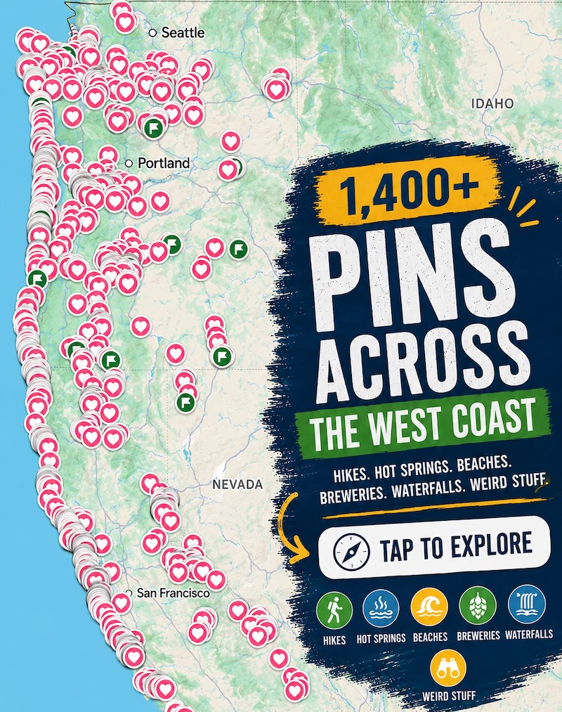
Psst — we made you a West Coast Adventure Map. Nearly 1,900 of our favorite spots, already pinned, ready to load into Google Maps in two clicks — grab it here.
A staircase built for firefighters, not hikers
A fire lookout has stood on this summit since 1915, watching for smoke across the Tahoe National Forest. In 1964, Forest Service employees bolted a steel staircase onto the final stretch of bare rock so the public could reach it too — about 180 steps up a face steep enough that the last section feels more like a ladder than a trail.
Take the top slowly. The exposure is real even with the railings, and this isn’t the spot to rush for a photo.
📍 GET THE ULTIMATE CALIFORNIA MAP 🗺️
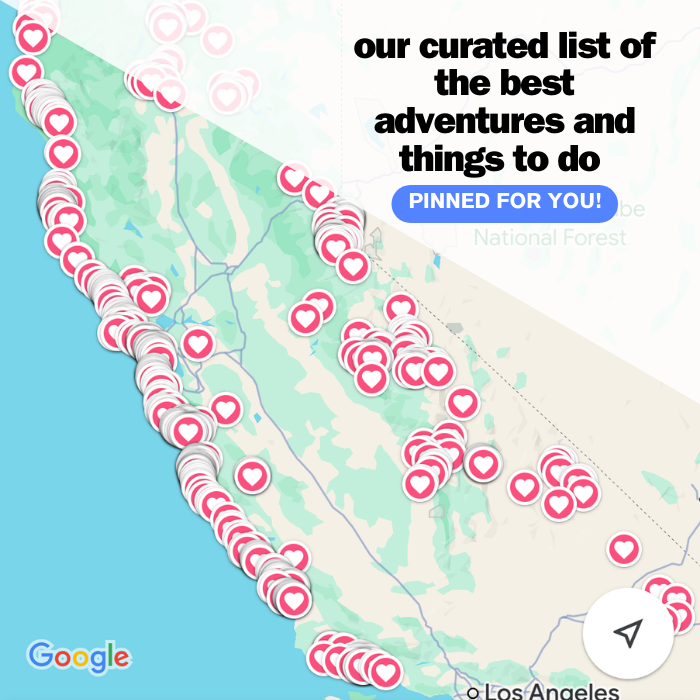
Get our curated list of the best adventures and things to do north of LA loaded onto your maps with just two clicks!
✅ Waterfalls ✅ Hikes ✅ Viewpoints
✅ National Parks ✅ 1400+ Pins

The hike itself
From the main trailhead off Forest Road 93-2, the Sierra Buttes Trail climbs 2.3 miles one way and about 1,590 feet, according to the Tahoe National Forest — call it 4.6 miles round trip, most of it exposed to full sun with no water sources along the way. One stretch overlaps with the Pacific Crest Trail, so don’t be surprised if a thru-hiker passes you looking considerably less winded.
There’s no fee to hike it, which is rare for a view this good. Go between June and October — the trail holds snow well into early summer above 8,000 feet, and the first fall storms start rolling back in by late October.
Two lakes before you even start climbing
Most people base out of the Lakes Basin at the foot of the Buttes, where Sardine Lake and Packer Lake sit close enough to visit both in an afternoon. Lower Sardine Lake is genuinely swimmable by summer — cold, clear, and about as blue as water gets, with the Buttes rising straight out of the far shore.
If you’d rather skip the granite drop-offs, Sand Pond next to the campground is the calmer option, with a sandy shore and a boardwalk loop. California’s better-known swimming holes get most of the attention, but this corner of the northern Sierra rarely makes those lists — which might be the actual draw.
Gold once came out of this exact mountain
The Sierra Buttes sit in country that fueled the California Gold Rush, and one of the largest gold nuggets ever pulled from the ground nearby weighed 106 pounds, found in 1869. These days, the only thing worth digging for is a parking spot at the trailhead on a summer Saturday.
Start early, bring more water than feels necessary, and save the stairs for when your legs still have something left. As with anywhere in the Sierra by late summer, check current fire restrictions before you head out.
The view from the top doesn’t wait around for anyone, but it isn’t going anywhere either.
Trip tips: grab a rental car to get out here, lock in your hotel before the good rooms are gone, or skip both and book a camper van instead.
Rules and fees change — always confirm current requirements before you go.