
California’s last dam-free river runs so clear you can count rocks 20 feet down, and August is when it looks best
Every other major river in California has a dam on it somewhere along its length. The Smith River, tucked into the state’s far northwest corner, has never had one — not on the main stem, not on any of its three forks. That’s a big part of why, by the time August rolls around, you can stand on its bank and see clean through 20 feet of water to the rocks below.
The color is what actually stops people mid-sentence: a deep jade in the still pools, shifting toward turquoise wherever the current picks up speed. Redwoods lean in from both banks in places, filtering the light until the whole scene looks a little unreal. Locals have known about it for decades, but it rarely gets mentioned in the same breath as California’s more famous rivers — which, honestly, might be the point.
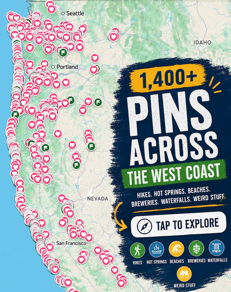
Psst — we made you a West Coast Adventure Map. Nearly 1,900 of our favorite spots, already pinned, ready to load into Google Maps in two clicks — grab it here.
Most California rivers run cloudy in early summer because they’re carrying Sierra snowmelt, and they don’t really clear up until fall. The Smith works the opposite way: it’s fed almost entirely by rain, not snowpack, so its highest and muddiest flows show up with winter storms. By the time summer settles in, the water drops and slows way down — which is exactly why more than 300 miles of the Smith River watershed carry a Wild and Scenic River designation, one of the most complete protected river systems in the country.
Panther Flat’s two swimming holes
Six Rivers National Forest manages this stretch of the Smith along Highway 199, and Panther Flat Campground is the easiest way in. Two swimming holes sit within a short walk of the campground, one with an actual sandy beach, and the picnic area next door is day-use only and free — no fee required just to get your feet wet.
Myrtle Creek Trail, if you want to earn it a little
The Myrtle Creek Trail is 2.1 miles round trip with about 334 feet of climbing, rated easy, and takes most people around an hour and a half. It follows an old gold-mining ditch dug more than a century ago — a 47-ounce nugget reportedly turned up along this exact route — before dropping you at Myrtle Beach, one of the most-loved sandy swimming spots on the entire river.
Stout Grove, where the redwoods meet the river
Of everything on this stretch of the Smith, Stout Grove is the one I wouldn’t skip. It’s a flat, half-mile loop through some of the most photogenic old-growth redwoods in Jedediah Smith Redwoods State Park, and in summer a seasonal footbridge lets you walk straight from the grove down to the riverbank for a swim before you’ve even worked up a sweat.

All three spots sit within about a 20-minute drive of each other along the Smith River Scenic Byway, with Crescent City as the closest real town for gas, groceries, or a place to sleep.
The water looks tropical, but it’s mountain-fed and stays cold enough to take your breath away even in August. None of these spots have lifeguards, so wade in gradually and keep a close eye on kids and pets once you’re past the shallows. It’s worth checking Six Rivers National Forest’s current conditions page before you go, since seasonal fire restrictions typically apply through summer and fall and mostly affect campfires rather than swimming.
Rules and fees change — always confirm current requirements before you go.
Trip tips: grab a rental car to make the drive up 199, lock in a hotel in Crescent City before summer rooms fill up, or skip both and road-trip up in a camper van instead.