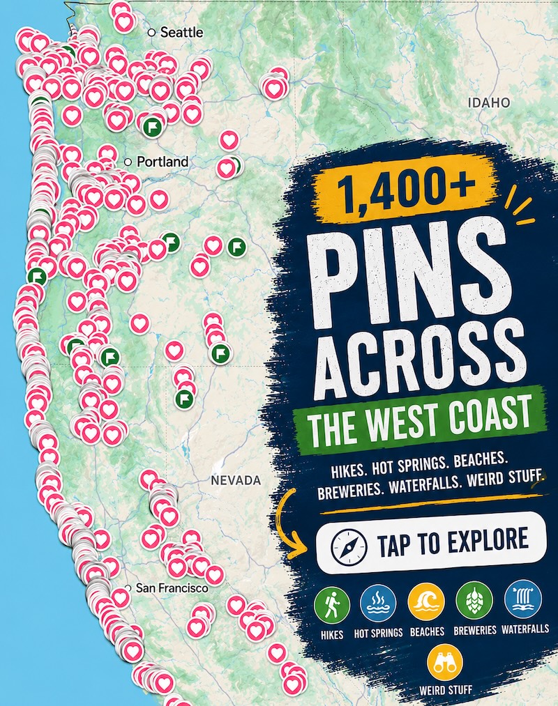
Death Valley gets less than 2 inches of rain a year, and floodwater still carved a stone bridge across this canyon
Death Valley averages less than 2 inches of rain a year, and somehow water still punched a hole clean through a canyon wall here. The result is a thick, rust-colored stone bridge spanning a dry wash just off Badwater Road, and it’s one of the easiest big payoffs in the whole park.
Ready for the best part? The walk to it is barely a mile round trip, and right now is exactly when you want to be doing it.
Psst, we made you a West Coast Adventure Map. Nearly 1,900 of our favorite spots, already pinned, ready to load into Google Maps in two clicks: grab it here.
A bridge built by floods in a desert
Rain is rare here, but when it comes, it comes hard. Flash floods rip down these bare canyons with nothing to slow them, and over a very long time they wore through the rock until only this span was left standing.
Don’t expect the smooth red sandstone of Utah’s famous arches. The Park Service describes this bridge as cemented gravel and sediment, roughly 35 feet high and about as thick, which gives it a rough, chunky, almost hand-built look up close.
📍 GET THE ULTIMATE CALIFORNIA MAP 🗺️
Get our curated list of the best adventures and things to do north of LA loaded onto your maps with just two clicks!
✅ Waterfalls ✅ Hikes ✅ Viewpoints
✅ National Parks ✅ 1400+ Pins
The walk: short, rocky and totally worth it
Here are the numbers: about 1 mile round trip to the bridge, with less than 100 feet of climbing, and around 45 minutes if you stop for photos. There’s no built trail, so you just follow the wash uphill from the parking lot.
That wash is very rocky, so wear real shoes, not flip-flops. The canyon walls close in fast, and then the bridge appears overhead like a doorway someone forgot to finish.
Don’t turn around at the bridge
My strong opinion: the bridge is the headliner, but the canyon behind it is the encore most people skip. Keep walking and you’ll pass dry waterfalls, smooth vertical chutes and hanging side canyons left high and dry above the wash.
Look for the strange mud drippings on the canyon walls, too, like wax that ran down a candle and froze. The canyon finally dead-ends at a dry waterfall you can’t climb, which is your cue to turn around and enjoy the whole thing again downhill.
Why November is the sweet spot
In summer, the Park Service flat-out advises against hiking here after 10 AM. By November, the average high on the valley floor drops to around 77 degrees with lows near 48, which is basically perfect canyon-wandering weather.
Go early anyway, since the wash has no shade and the sun still has teeth. Carry plenty of water, and stay out of canyons if rain is in the forecast: those same flash floods that carved the bridge are a real hazard. The park’s alerts and conditions page is the place to check before you head out.
Getting there
Take Badwater Road south from Highway 190 for about 13.5 miles, then turn onto the gravel road for roughly 1.5 miles to the trailhead. It’s usually fine for most cars, but washouts and deep ruts can happen after storms, so check conditions first.
The dirt lot has a vault toilet and room for bigger vehicles. Leave the dog at home on this one, since pets aren’t allowed on any trail in the park, even if you carry them.
Death Valley charges a $30 private vehicle entrance fee that’s good for seven days. If you’ve got an America the Beautiful pass, that’s the only entrance pass you need.
🏨 Need a place to crash nearby?
From rustic cabins to boutique inns—check prices and availability in just a click.
Make a morning of Badwater Road
Natural Bridge sits right in the middle of one of the park’s best scenic drives. Golden Canyon’s trailhead is just 2 miles south of Highway 190 on the same road, and Badwater Basin, 282 feet below sea level, waits about 17 miles south of Furnace Creek.
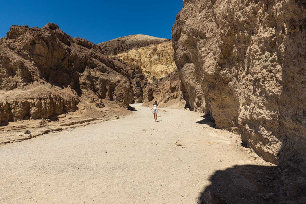
String all three together and you’ve got a full day of badlands, canyons and salt flats without ever leaving the pavement for long. Want more ideas for the rest of your trip? Our guide to the best hikes in Death Valley has plenty.
Trip tips: grab a rental car to get out here, lock in your hotel before the good rooms are gone, or skip both and book a camper van instead.
So, would you stop at the bridge or push on to the dry falls at the end? Tell us in the comments!
Rules and fees change, so always confirm current requirements before you go.