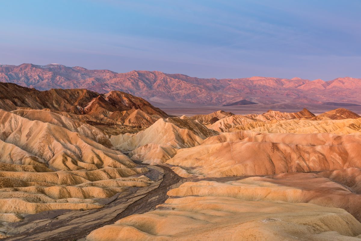
15 EPIC Hikes in Death Valley National Park
Infamous for its extreme conditions, hiking in Death Valley National Park isn’t for the weak.
With over 100 miles of trails in Death Valley National Park, you’ll witness some of the most unique and breathtaking scenery in the country.
Here are the most worthwhile hikes!
GET THE ULTIMATE CALIFORNIA MAP
Get our curated list of the best adventures and things to do north of LA loaded onto your maps with just two clicks!
Table of Contents
- 1. Artist’s Palette Trail
- 2. Badwater Basin Salt Flats Trail
- 3. Harmony Borax Works Trail
- 4. Golden Canyon Trail
- 5. Twenty Mule Team Canyon Trail
- 6. Telescope Peak Trail
- 7. Zabriskie Point Trail
- 8. Mosaic Canyon Trail
- 9. Dante’s View Trail
- 10. Darwin Falls Trail
- 11. Natural Bridge Trail
- 12. Father Crowley Vista Trail
- 13. Mesquite Flat Sand Dunes Trail
- 14. Salt Creek Interpretive Trail
- 15. Complete Circuit Trail
- Tops Tips For Hiking in Death Valley:
1. Artist’s Palette Trail
Distance: 0.3 miles
Difficulty: Easy
Type of Trail: Out & Back
Elevation Gain: 108 ft
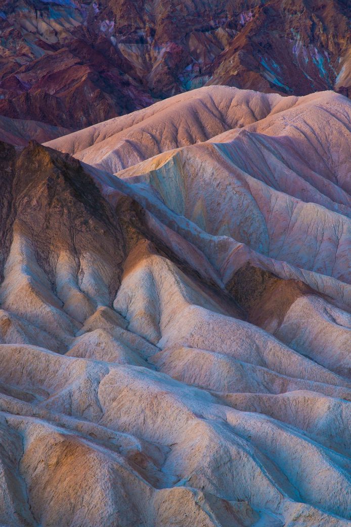
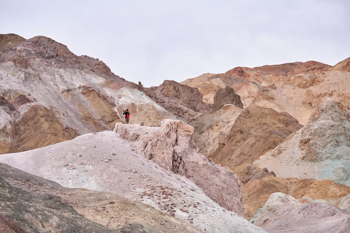
Artist’s Palette Trail is short but spectacular. The hills are splashed with colors like an artist’s palette. Formed by oxidation, the hues are especially vibrant at sunrise and sunset.
Visit during golden hour to see the colors at their most vivid.
Don’t take your rigs down this road! It’s for vehicles under 25ft only.
2. Badwater Basin Salt Flats Trail
Distance: 1.9 miles
Difficulty: Easy
Type of Trail: Out & Back
Elevation Gain: 6 ft
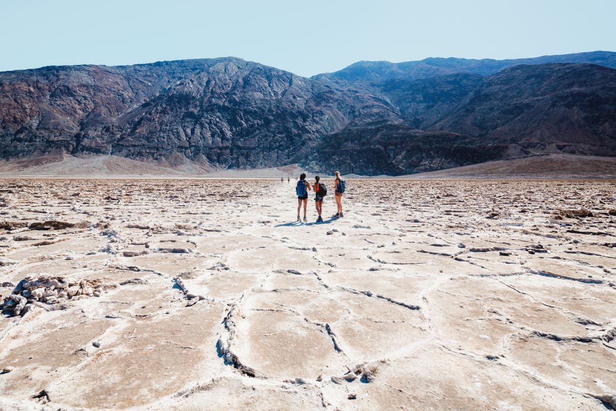
Badwater Basin is the lowest point in North America, sitting 282 feet below sea level. You can check out the sea level sign on the mountain for a perspective on just how low you are!
The trail takes you across a vast expanse of salt flats that look like a snowy desert.
3. Harmony Borax Works Trail
Distance: 0.4 miles
Difficulty: Easy
Type of Trail: Loop
Elevation Gain: 29 ft
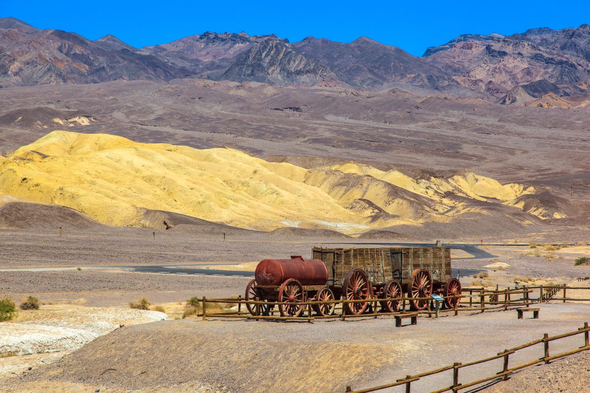
Step back into the 1880s on the Harmony Borax Works Trail.
Check out the old wagons and mining equipment used to haul borax across the desert. It’s a quick, fun history lesson!
4. Golden Canyon Trail
Distance: 3 miles
Difficulty: Moderate
Type of Trail: Out & Back
Elevation Gain: 577 ft
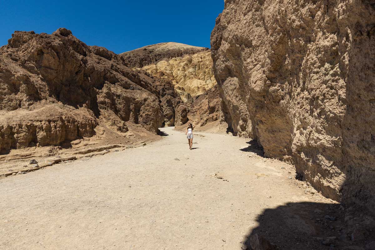
The Golden Canyon Trail is famous for its colorful canyon walls and dramatic landscapes.
It’s a moderately challenging hike with plenty of photo opps. The trail takes you through narrow sections and up to the Red Cathedral formation.
5. Twenty Mule Team Canyon Trail
Distance: 0.3 miles
Difficulty: Easy
Type of Trail: Out & Back
Elevation Gain: 65 ft
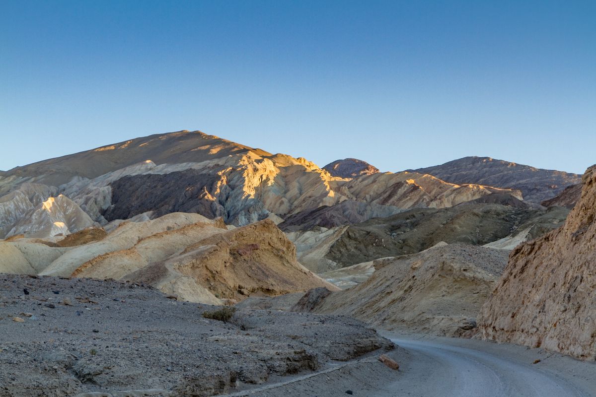
The Twenty Mule Team Canyon Trail is a less crowded spot with striking badlands. Skip the crowds at Zabriskie Point and come here instead for some peace and quiet.
Hike further into the canyon to discover hidden mine tunnels and slot canyons.
6. Telescope Peak Trail
Distance: 14 miles
Difficulty: Hard
Type of Trail: Out & Back
Elevation Gain: 3,000 ft
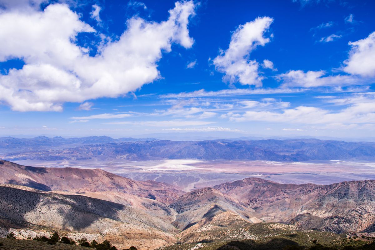
At 11,049 feet, Telescope Peak offers sweeping views of the Badwater Basin and Panamint Valley. It’s a tough hike, but the breathtaking views are the perfect reward.
7. Zabriskie Point Trail
Distance: 0.4 miles
Difficulty: Easy
Type of Trail: Out & Back
Elevation Gain: 49 ft
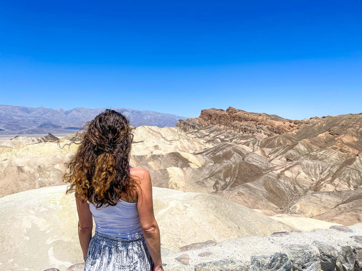
Zabriskie Point offers one of the best views in the park. The trail is short but steep, leading to stunning vistas of the badlands and beyond. It’s a photographer’s dream spot.
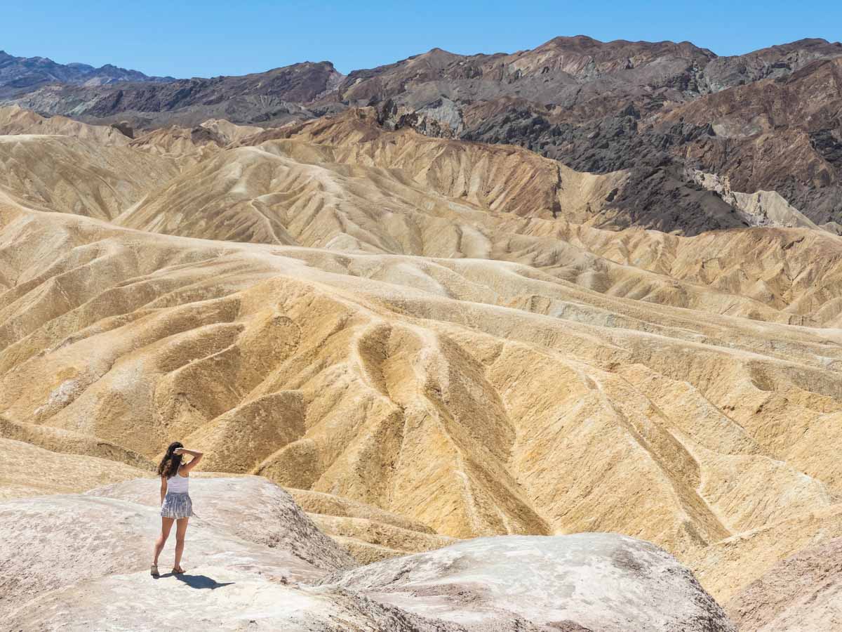
The further you walk in, the less crowds there are. The trailhead is sometimes insanely busy.
8. Mosaic Canyon Trail
Distance: 3.5 miles
Difficulty: Moderate
Type of Trail: Out & Back
Elevation Gain: 1,000 ft
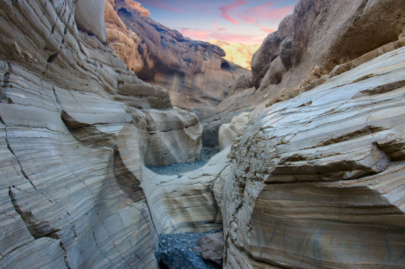
Mosaic Canyon Trail features smooth, polished marble walls and unique rock formations.
The narrow sections of the canyon provide a fun and slightly challenging experience for hikers. It’s a great place to explore the geological wonders of Death Valley.
Wear sturdy shoes with good grip as the polished marble can be slippery.
9. Dante’s View Trail
Distance: 1.0 miles
Difficulty: Moderate
Type of Trail: Out & Back
Elevation Gain: 223 ft
Dante’s View gives you a bird’s-eye view of the entire Death Valley Basin! Hike southwest from the viewpoint for even better panoramas.
This is a top spot for sunrises and sunsets or during a full moon to see the salt flats glow eerily in the moonlight.
10. Darwin Falls Trail
Distance: 1.9 miles
Difficulty: Moderate
Type of Trail: Out & Back
Elevation Gain: 232 ft
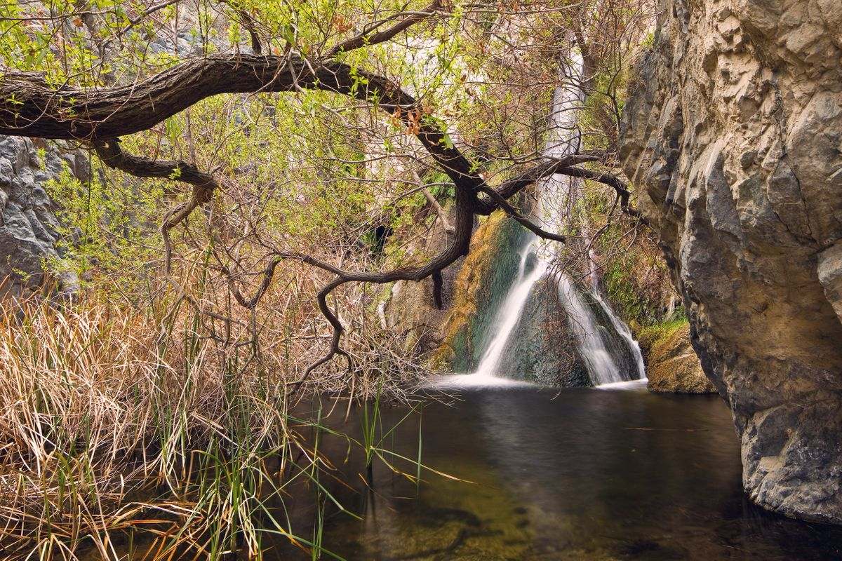
Darwin Falls is a lush oasis in the desert, with a waterfall cascading down 18 feet. The trail crosses streams and rocky areas, so be prepared to get your feet wet!
11. Natural Bridge Trail
Distance: 1.4 miles
Difficulty: Moderate
Type of Trail: Out & Back
Elevation Gain: 449 ft
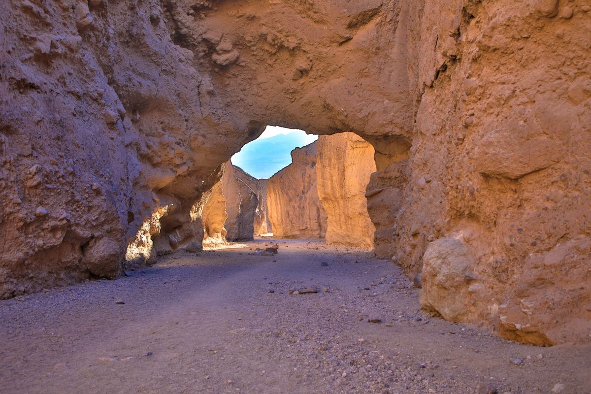
The Natural Bridge Trail takes you to a massive rock arch, standing 35 feet high. The unpaved, gravel trail is best tackled in the morning for cooler temperatures.
Keep going past the arch to discover hanging canyons and a dry waterfall.
12. Father Crowley Vista Trail
Distance: 1.2 miles
Difficulty: Easy
Type of Trail: Out & Back
Elevation Gain: 72 ft
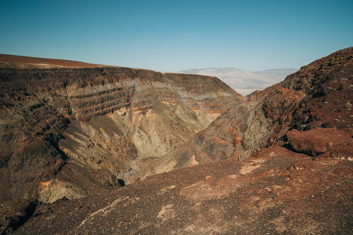
At Father Crowley Vista, you get a stunning view of Rainbow Canyon, named for its colorful volcanic rocks. If you’re lucky, you might spot fighter jets zooming through the canyon.
Pair this hike with the nearby Darwin Falls for a full day of exploration.
13. Mesquite Flat Sand Dunes Trail
Distance: 2.8 miles
Difficulty: Moderate
Type of Trail: Out & Back
Elevation Gain: 206 ft
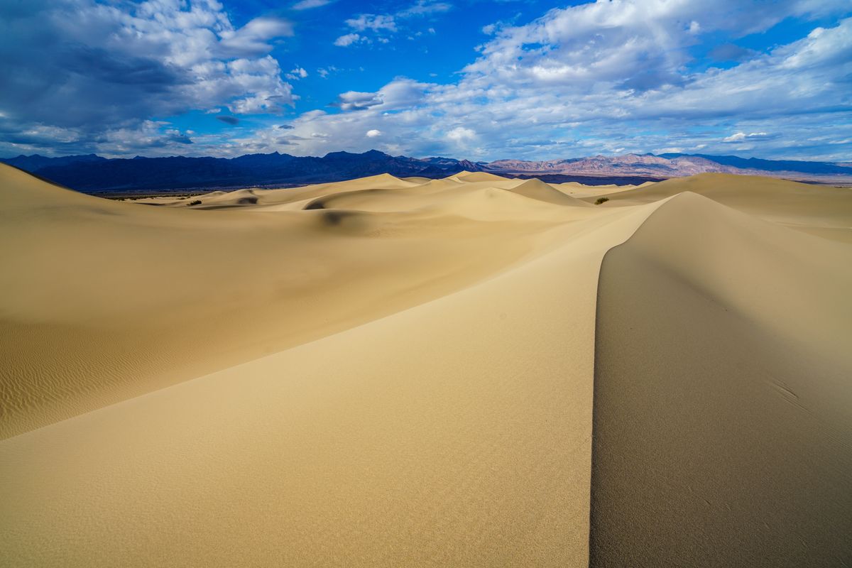
Mesquite Flat Sand Dunes are a sight to behold, with dunes reaching up to 100 feet high. Named after the mesquite trees, these dunes are perfect for a fun and unique hike or to go sandboarding!
14. Salt Creek Interpretive Trail
Distance: 0.8 miles
Difficulty: Easy
Type of Trail: Loop
Elevation Gain: 29 ft
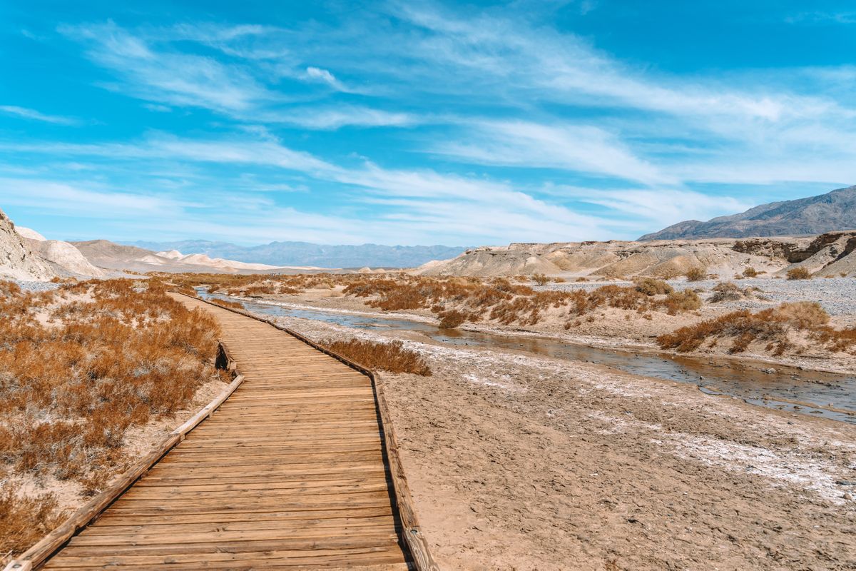
Salt Creek is a rare sight in the desert, with its flowing water and unique wildlife. Look for the tiny pupfish swimming in the creek—it’s a cool find in the middle of nowhere.
15. Complete Circuit Trail
Distance: 7.8 miles
Difficulty: Hard
Type of Trail: Loop
Elevation Gain: 834 ft
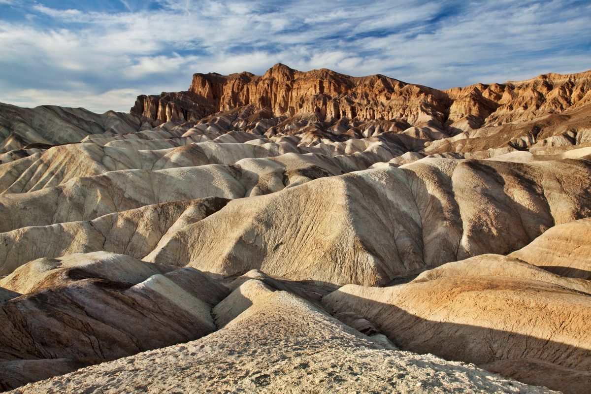
Complete Circuit Trail is for those who love a challenge. Start at Zabriskie Point and journey through Golden Canyon and Red Cathedral before looping back via Gower Gulch.
Enjoy some solitude on this trail. Bring a picnic and soak up the views at Red Cathedral. This hike in Death Valley will give you the best overview but it’s a long one in this heat.
Tops Tips For Hiking in Death Valley:
- Summer visits are not recommended. Death Valley can reach scorching temperatures up to 134°F! (Speaking from experience since one of my visits here was literally during a heat wave! It was unbearable!)
- Timing Your Hike: Start your hikes early in the morning or late in the afternoon to avoid the peak heat of the day. The lighting is also better for photography during these times.
- Cell phone service is limited. Grab a map at Furnace Creek Visitor Center and download offline maps on Google Maps and Maps.Me.
- Be cautious of desert wildlife. Always check where you place your hands and feet.
- Stay hydrated. Even in winter, the dry air and sun can be intense.
- Pack Proper Gear: Always carry a wide-brimmed hat, sunscreen, and sunglasses to protect yourself from the harsh sun. Lightweight, long-sleeved clothing can also help shield your skin.
Read more of our guides on what to do nearby:
- 15 EPIC Hikes in Death Valley National Park
- Exploring The Mojave Lava Tube in the Mojave Desert
- Your Guide to Alabama Hills Movie Road
We hope this helped you choose the best hikes in Death Valley National Park to tackle!

