Soldiers fired rifles across these Monterey Bay dunes for decades, and the ocean swallowed the cliff under their famous beach club
Most people blow right past Fort Ord Dunes on Highway 1 without a second look. That’s a mistake, because this stretch of Monterey Bay spent most of the 20th century as an Army firing range, and the sand still hasn’t fully let go of its past.
Today it’s a state park with 4 miles of beach, big rolling dunes and a handful of concrete leftovers from the base. It’s also one of the quietest beaches around Monterey, which makes it a sneaky-good late fall escape.
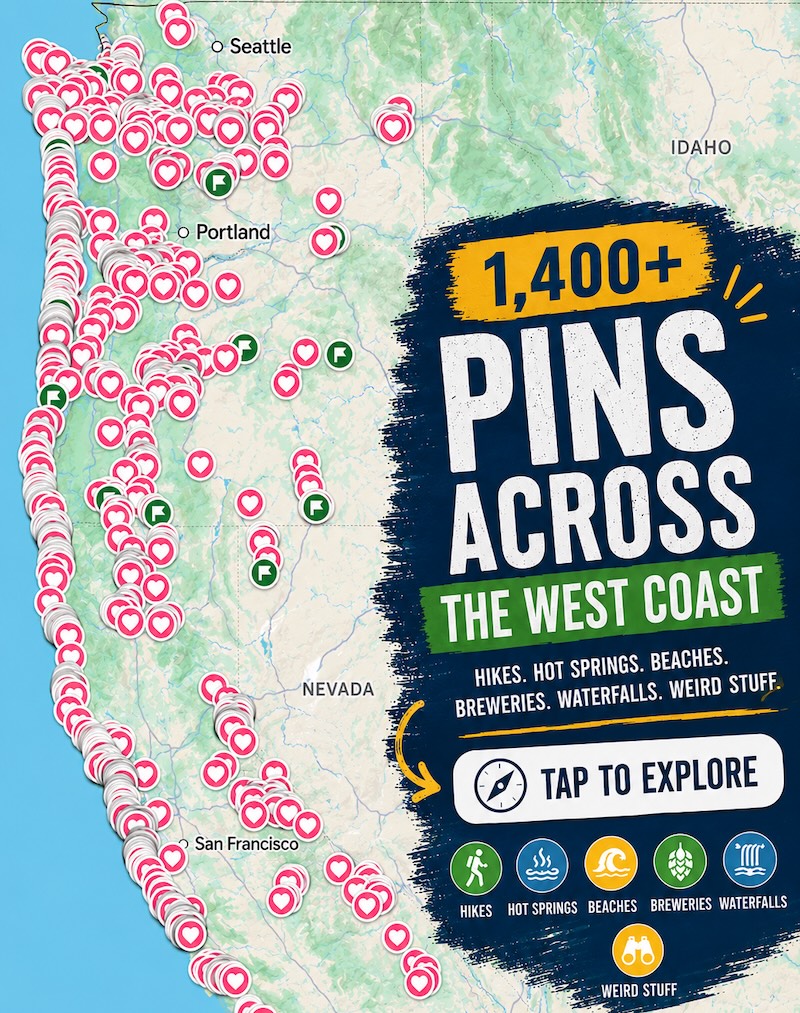
Psst, we made you a West Coast Adventure Map. Nearly 1,900 of our favorite spots, already pinned, ready to load into Google Maps in two clicks: grab it here.
From Army camp to rifle range
The Army started using this land north of Monterey in 1917, and it officially became Fort Ord in 1940. Through World War II, Korea and Vietnam, it was one of the country’s key training posts for troops.
Out on the coast, the dunes held 15 rifle ranges. For decades, the soundtrack here was gunfire, not surf.
The base closed in September 1994. Crews hauled out what wasn’t needed, started restoring the dunes, and the coastal strip opened to the public as Fort Ord Dunes State Park in 2009.
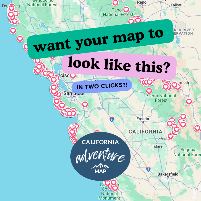
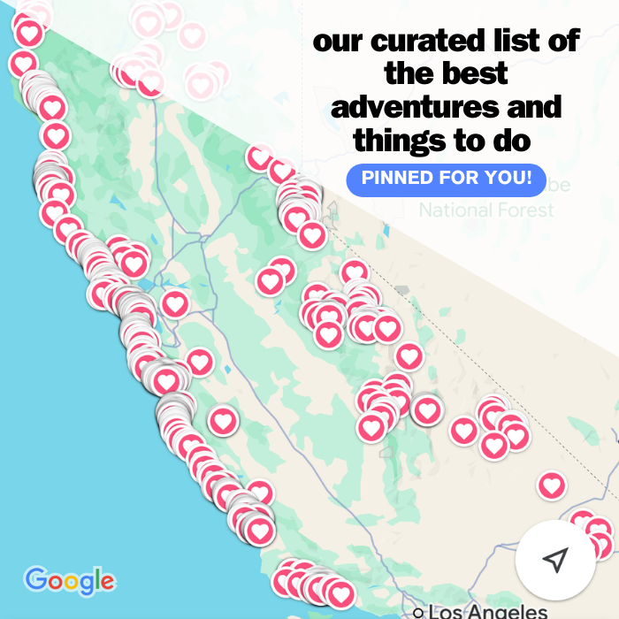
📍 GET THE ULTIMATE CALIFORNIA MAP 🗺️
Get our curated list of the best adventures and things to do north of LA loaded onto your maps with just two clicks!
✅ Waterfalls ✅ Hikes ✅ Viewpoints
✅ National Parks ✅ 1400+ Pins
The soldiers’ club that fell to the sea
The best story here is one you can’t see anymore. Gen. Joseph “Vinegar Joe” Stilwell, who commanded the 7th Infantry Division at Fort Ord in the early 1940s, picked a bluff above the beach for a club where enlisted men could kick back.
It opened in 1943 and later took his name: Stilwell Hall. Inside were a huge ballroom, Mission Revival details, murals by WPA-funded artists and what was said to be the longest bar in California.
The problem was the cliff. The park’s own signs say these bluffs can retreat five to eight feet a year in storm season, and the Army’s attempts to armor the slope with broken concrete and rock didn’t hold.
By 2003, the building was teetering near the edge, and it was torn down. Stand at the old Stilwell Hall site, look down at that bluff, and you’ll get a pretty clear picture of who actually wins on this coast.

What’s still out there
When the state took over, the land came with leftovers from 15 firing ranges, 12 ammunition bunkers and more than 100 abandoned buildings. Most of the buildings are gone, but the bunkers are still dug into the dunes, half-swallowed by ice plant.
Those bunkers are getting a second life. A new campground is going up right beside them, and the plans include an interpretive walk along the bunker row that tells the base’s story.
Construction started in summer 2025 and is expected to take about two years, so expect some fencing for now. Parts of the park, including a section of Beach Range Road, are closed during the work, so check the closure map on the state park’s page before you go.
Four miles of beach, almost to yourself
From the main lot, a short sandy path drops through the dunes to the beach, and then it’s just you, the wind and a whole lot of Monterey Bay. On a clear day, the view stretches from the Monterey Peninsula all the way up to Santa Cruz.
Not feeling the sand slog? There’s a boardwalk and a bluff-top viewing platform, plus eight interpretive panels at the main parking area that fill in the base’s history.
Here’s the important part: this is a walking beach, not a swimming beach. State Parks warns about heavy surf, very strong rip currents and a sharp drop-off near the tide line, so enjoy the waves from dry sand.
The Monterey Bay Coastal Trail also runs along the edge of the park, and it’s one of our favorite hikes in Monterey if you’d rather bike or jog the shoreline.

Go late in the day
Our pick? A clear late afternoon, when the low sun turns the dunes gold and the beach empties out. It’s the kind of light that makes you forget this place was ever anything but wild.
Winter storms can push big surf up the beach, which is exactly why those bluffs keep shrinking. On rough days, keep well back from the water and the cliff edges.
A few rules to know: the park is open 8 a.m. to sunset. Leashed dogs are welcome on the main north-south recreation trail, but not on the beach or the spur trails leading to it, since threatened western snowy plovers nest here.
🏨 Need a place to crash nearby?
From rustic cabins to boutique inns—check prices and availability in just a click.
Make a day of it
Inland, much of the rest of the old base is now Fort Ord National Monument, with more than 80 miles of trails for hiking, biking and horseback riding. Got energy left after the beach? That’s your next stop.
Downtown Monterey and Cannery Row are a short drive south, so it’s easy to pair a dune walk with chowder and the waterfront. Here are our favorite things to do in Monterey to round out the trip.
Trip tips: grab a rental car to get out here, lock in your hotel before the good rooms are gone, or skip both and book a camper van instead.
So, would you have guessed this quiet beach was once a firing range? Tell us your favorite underrated Monterey Bay beach in the comments.
Rules and fees change, so always confirm current requirements before you go.