The land baron credited with naming Monterey Jack cheese left his name on this peak, and the summit trail is less than a mile long
Here’s one for your next cheese board: the land baron credited with making Monterey Jack famous also got a mountain out of the deal. Okay, a peak. Jacks Peak tops out at 1,068 feet, the highest point on the Monterey Peninsula, and the trail across its summit is less than a mile long.
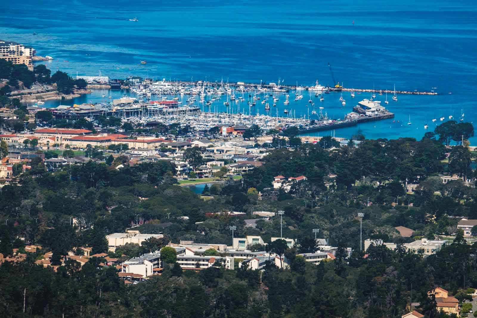
It’s easy to spend a whole Monterey trip at sea level, bouncing between the wharf and the aquarium. But 15 minutes uphill you get a quiet pine forest, fossils in the trailside rock and a view that sweeps from Monterey Bay to Carmel Valley.
Psst, we made you a West Coast Adventure Map. Nearly 1,900 of our favorite spots, already pinned, ready to load into Google Maps in two clicks: grab it here.
Who was David Jacks?
He was born David Jack in Scotland in 1822 and came to California during the Gold Rush. Somewhere along the way he picked up an extra “s,” along with a staggering amount of Monterey County land.
He didn’t invent the cheese. A mild white “country cheese” was being made in California long before he showed up, but Jacks ran a string of dairies, sold it far and wide as Jack’s cheese, and buyers started asking for “Monterey Jack.” The name stuck.
Was he popular? Not exactly. After visiting Monterey, Robert Louis Stevenson wrote that a famous San Francisco orator had suggested locals deal with Jacks by hanging him. Tough crowd.
📍 GET THE ULTIMATE CALIFORNIA MAP 🗺️
Get our curated list of the best adventures and things to do north of LA loaded onto your maps with just two clicks!
✅ Waterfalls ✅ Hikes ✅ Viewpoints
✅ National Parks ✅ 1400+ Pins
How his peak became everybody’s park
Part of the land Jacks owned here came to him in 1859, when former Carmel Mission lands went up for auction. More than a century later, a couple named Talcott and Margaret Pardee Bates bought the first 55 acres of what would become the park and sold them to the Nature Conservancy, which passed them on to the county.
Monterey County bought the rest from Del Monte Properties in 1971, and Jacks Peak Park opened in January 1977. Today it covers 525 acres with about 8.5 miles of trails. Leave the bike at home, though, because bikes aren’t allowed on any of them.
The Skyline Trail: short, easy and full of fossils
The Skyline Self-Guided Nature Trail runs right across the summit. It’s a 0.9-mile loop with about 134 feet of climbing, so think stroll, not workout.
Keep your eyes on the rock as you go. The shale up here holds fossils from the Miocene epoch, and if you can’t pick any out yourself, a display case along the Skyline Trail shows some off.
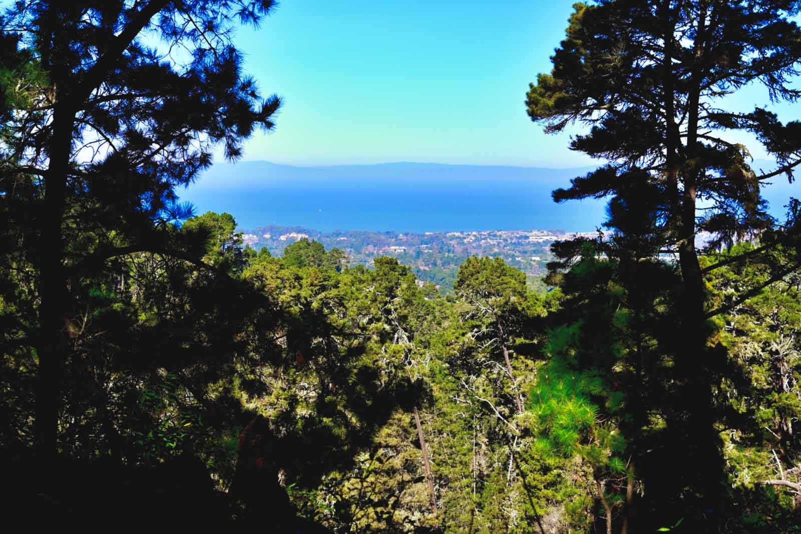
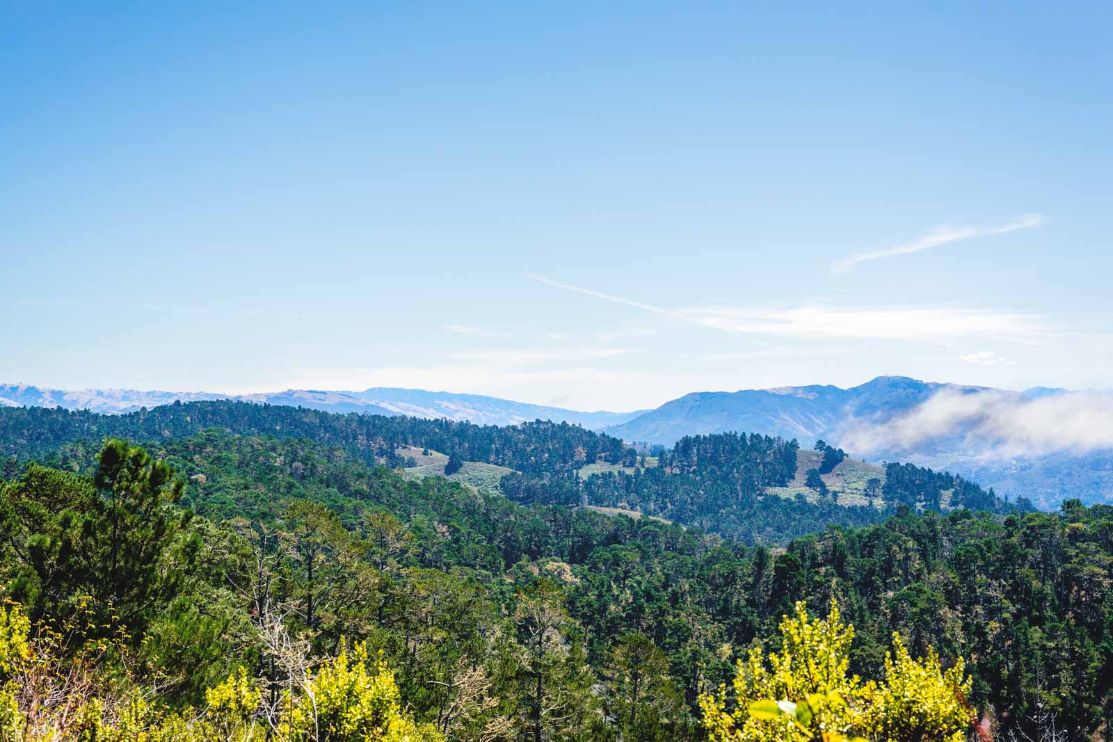
Then the trees open up. Monterey Bay spreads out on one side, Carmel Valley and the Santa Lucia Mountains roll away on the other, and there are benches for soaking it all in. For my money, this little loop has the best view-per-step ratio on the whole peninsula.
Collecting trails around town? Add this one to our list of the best hikes in Monterey.
Want more? Loop through the pines
If you’d like to actually break a sweat, hook the summit into the Jack’s Peak, Coffeeberry, Lower Ridge and Pine Trail loop. It’s 2.6 miles with about 423 feet of climbing, rated moderate, and the Coffeeberry stretch has more fossils tucked into the shale.
The forest is the real star here. Jacks Peak protects one of only three natural stands of Monterey pine left in the United States, so those tall, shaggy trees overhead are a lot rarer than they look.
Stick to the trail, too. Poison oak grows along the edges, and it’s not the souvenir you want.
Before you go
Jacks Peak County Park sits off Highway 68, about 15 minutes from downtown Monterey, and leashed dogs are welcome. The county charges a small day-use fee and sets seasonal hours, so check the Monterey County Parks page before you head up.
Make a day of it with the rest of our favorite things to do in Monterey, then grab a wedge of Jack on the way home. It feels right.
Trip tips: grab a rental car to get out here, lock in your hotel before the good rooms are gone, or skip both and book a camper van instead.
Have you made it up to Jacks Peak, or are you strictly a sea-level Monterey person? Tell us in the comments!