The lowest point in North America was once a 600-foot-deep lake, and now it’s covered in razor-sharp salt
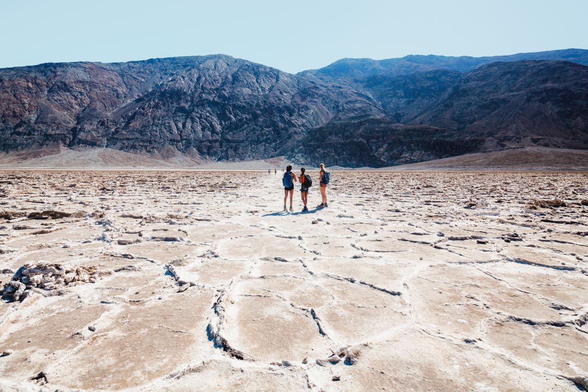
Badwater Basin is the lowest point in North America — 282 feet below sea level — and it wasn’t always this dry. About 150,000 years ago, this exact spot sat under Lake Manly, a lake deep enough to swallow a 60-story building. The ice age ended, the water disappeared, and it left behind one of the strangest landscapes in the country.
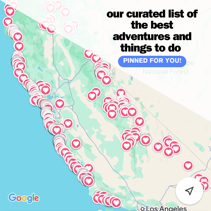
Psst — we made you a West Coast Adventure Map. Nearly 1,900 of our favorite spots, already pinned, ready to load into Google Maps in two clicks — grab it here.
Walking out onto the lowest point in the country
We parked at the pullout on Badwater Road and walked the boardwalk out onto the flats — about half a mile out, flat and easy the whole way. Keep going past where the boardwalk ends and another mile or so round trip gets you to the honeycomb-shaped salt polygons everyone’s photos are chasing.
Look back at the cliff above the parking lot and you’ll spot a small sign marking sea level, 282 feet above where you’re standing. It’s a strange thing to process — you’re on dry ground, and the ocean, technically, is still above your head.
📍 GET THE ULTIMATE CALIFORNIA MAP 🗺️
Get our curated list of the best adventures and things to do north of LA loaded onto your maps with just two clicks!
✅ Waterfalls ✅ Hikes ✅ Viewpoints
✅ National Parks ✅ 1400+ Pins
Fourteen miles up the road, the salt turns mean
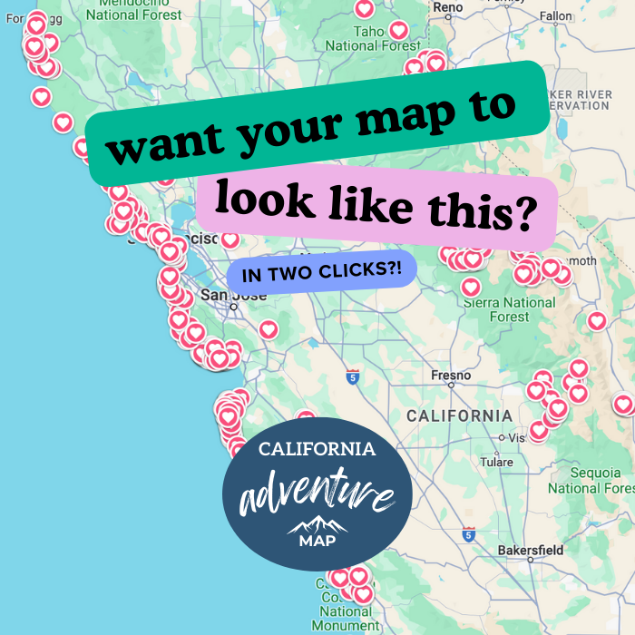
Devil’s Golf Course sits off the same road, and it’s what’s left when that ancient lakebed dries out somewhere wind and rain can’t smooth it over. Salty groundwater wicks up through the mud and evaporates, building jagged little spires that grow maybe an inch every 35 years.
This one’s more fun than Badwater itself, honestly — you’re standing on something that looks like it belongs on another planet, not a national park pullout. Skip the sandals; the salt edges are sharp enough to draw blood.
Go early, or skip it entirely
Summer air temperatures on the valley floor regularly top 120°F, and ground temperatures on dark rock or pavement can climb past 180°F. The National Park Service advises against hiking after 10 a.m. in summer and recommends at least a liter of water for every hour you’re outside. Neither spot has shade, so plan around sunrise, not sunset.
Entrance runs $30 per vehicle for seven days, or it’s covered under the America the Beautiful Pass, since the whole park sits on federal land. Once temperatures ease up, our guide to hiking in Death Valley covers the trails with actual shade.
Trip tips: grab a rental car to get out here, lock in your hotel before the good rooms are gone, or skip both and book a camper van instead.
Rules and fees change — always confirm current requirements before you go.