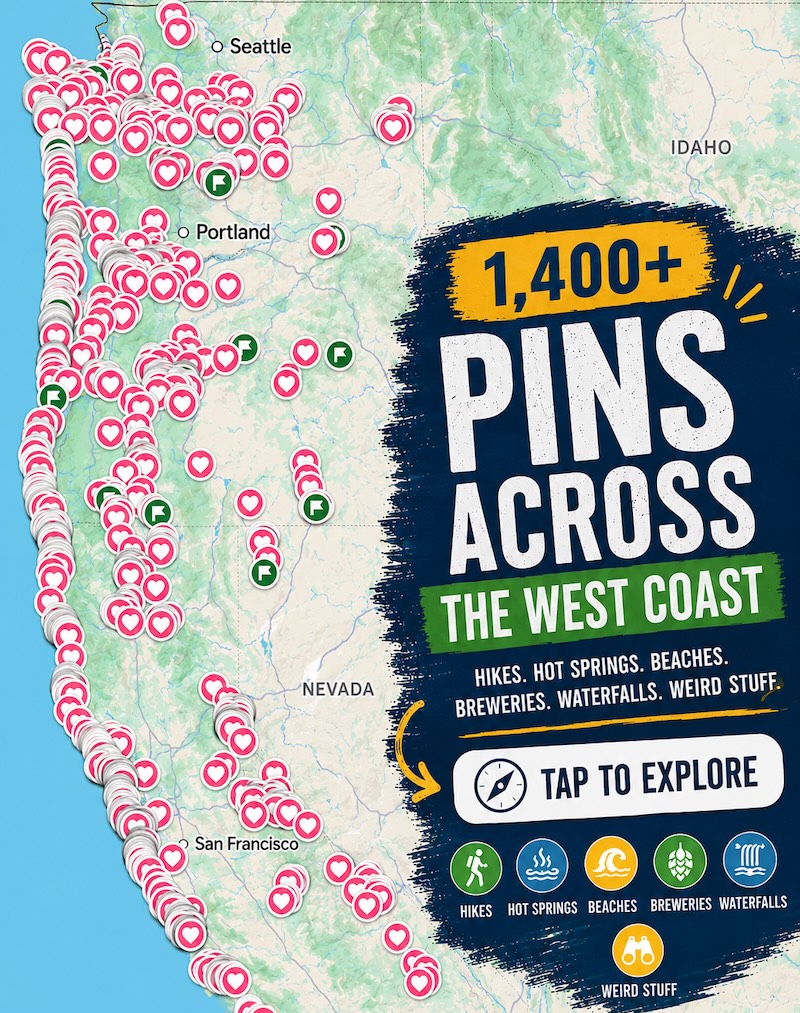
These 6,000-foot granite spires rise right off I-5, and most drivers never stop to look up
Drive north on I-5 past Dunsmuir and the forest just stops. Six thousand feet of bare granite shoots straight up out of the trees, close enough to the freeway that you could almost throw a rock at it. Most people glance up, maybe snap a photo through the windshield, and keep driving.
That’s Castle Crags, and it deserves more than a windshield glance. The park sits six miles south of Dunsmuir and 48 miles north of Redding, right off I-5 exit 724 — one of the easiest “wait, I didn’t know that was there” stops in Northern California.
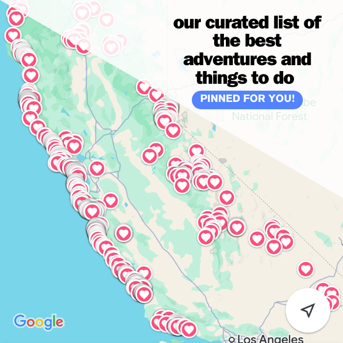
Psst — we made you a West Coast Adventure Map. Nearly 1,900 of our favorite spots, already pinned, ready to load into Google Maps in two clicks — grab it here.
Granite older than you’d guess
These spires are more than 170 million years old — granite that pushed up from deep underground back in the Jurassic, then spent the Pleistocene getting carved down by glaciers until only the hardest rock was left standing. That’s what gives Castle Dome, the park’s signature feature, its smooth, rounded shape: exfoliated granite, peeling off in giant convex slabs like an onion the size of a mountain.
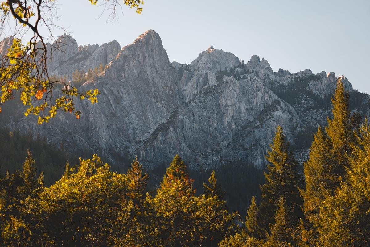
From Vista Point, a flat, quarter-mile accessible path right off the parking area, you get the crags on one side and Mount Shasta on the other. Two of Northern California’s biggest landmarks, one short walk.
📍 GET THE ULTIMATE CALIFORNIA MAP 🗺️
Get our curated list of the best adventures and things to do north of LA loaded onto your maps with just two clicks!
✅ Waterfalls ✅ Hikes ✅ Viewpoints
✅ National Parks ✅ 1400+ Pins
A battle happened at the base of these rocks
In June 1855, gold rush miners and settlers fought the Modoc people on a ridge below what’s now called Battle Rock, at the edge of the park. The fight started after mining operations silted up nearby Modoc fishing waters; it ended with the death of Modoc leader Chief Dorcas Della, and the Modoc left the area for good. Battle Rock is now California Historical Landmark No. 116, marked at the park entrance.
How to actually see them
The real hike here is the Crags Trail to Castle Dome — 5.6 miles round trip with 2,073 feet of elevation gain, rated strenuous. The first mile and a half switchbacks through forest and feels manageable; the last mile turns steep and rocky right up to the base of the dome, so pace yourself early.
Not up for that? The mile-long Root Creek Trail is gentle, shaded, and follows a creek that runs year-round — a real option if you just want tree cover and moving water without the climb. Between the two, the park has 28 miles of trail, and dogs aren’t allowed on any of them, so plan accordingly. If you’re already out this way, Mount Shasta’s best hikes are close enough to fold into the same trip.
Skip the pullout photo from the highway. The extra 2.7 miles to the base of the dome is the version of this place actually worth telling people about.
Camp streamside, or just pass through
The Sacramento River runs right through the park, with a pedestrian suspension bridge connecting to the Riverside picnic and camping area — a genuinely good spot to fish or just sit with your feet in the water. The Pacific Crest Trail passes through too, so don’t be surprised if you share the parking lot with someone three months into a walk from Mexico.
Castle Crags has 76 developed campsites with showers, plus hike-and-bike sites for anyone coming through without a car. Reservations run through ReserveCalifornia, and weekend sites this time of year go fast.
Before you go
Day-use parking runs $8 per vehicle, and the day-use area is open 8 a.m. to sunset. Summer days here run warm, but evenings cool off fast at elevation, so layers are worth packing even in August.
However you spend the day here — full climb to the dome or a slow lap around Root Creek — you’ll leave wondering how you drove past this stretch of I-5 so many times without stopping.
Trip tips: grab a rental car if you’re flying into Redding or Sacramento, lock in a hotel in Dunsmuir before the weekend books up, or bring a camper van and park it right along the river.
Rules and fees change — always confirm current requirements before you go.