
This California mountain is made of volcanic glass, and it erupted from the biggest volcano in the Cascades less than 1,000 years ago
Forget everything you picture when someone says “volcano.” There’s no smoking cone here, no glowing crater, no lava rivers. Instead, on the high eastern edge of a massive shield volcano in Siskiyou County, there’s a mountain made of glass.
Glass Mountain is a nearly treeless pile of black obsidian and pale pumice that poured out roughly 950 years ago, according to the U.S. Geological Survey.
That makes it the youngest lava flow on Medicine Lake Volcano, which happens to be the largest volcano by volume in the entire Cascade Range. Bigger than Shasta. Bigger than Rainier.
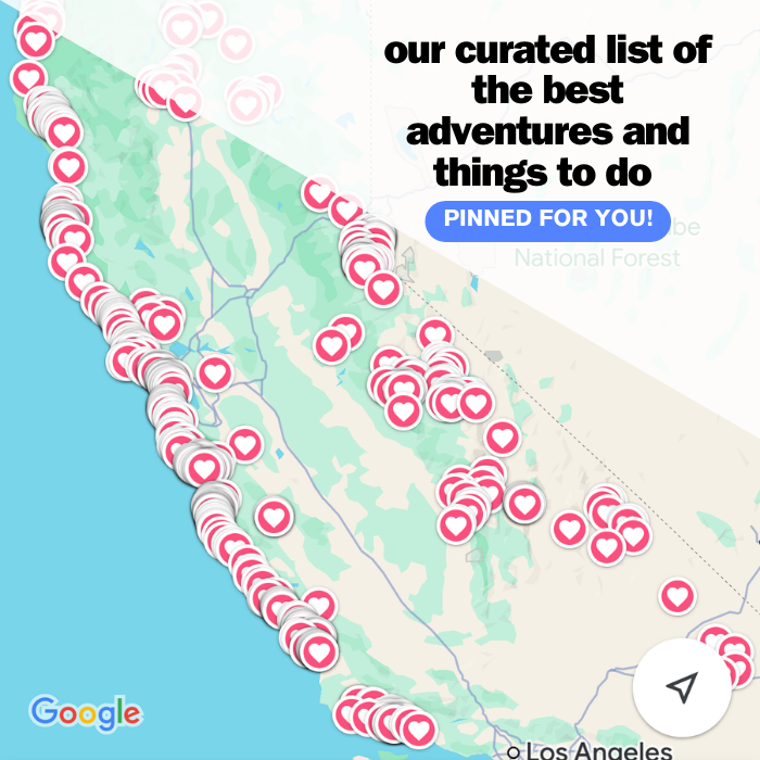
Psst, we made you a West Coast Adventure Map. Nearly 1,900 of our favorite spots, already pinned, ready to load into Google Maps in two clicks. Grab it here.
What you’re actually looking at
Thirteen vents split open along a single fissure during that eruption. Three of them merged into the main Glass Mountain flow, about a quarter cubic mile of lava that crept down the volcano’s steep eastern flank, while the rest built a line of smaller domes to the north and south.
Up close, it’s surreal. The rock shifts from glossy black obsidian to frothy, airy pumice (same lava, different amounts of trapped gas), with streaks of red where it oxidized. It looks less like a mountain and more like someone tipped over a glass factory and walked away.
There’s a smaller sibling, too. Little Glass Mountain, on the volcano’s southwest side, formed just over 1,000 years ago, and its flow front stands nearly 100 feet high right beside Forest Road 43N46.
📍 GET THE ULTIMATE CALIFORNIA MAP 🗺️
Get our curated list of the best adventures and things to do north of LA loaded onto your maps with just two clicks!
✅ Waterfalls ✅ Hikes ✅ Viewpoints
✅ National Parks ✅ 1400+ Pins

Look, but leave the glass
Here’s where the fun gets a little serious. The Forest Service warns that volcanic glass is sharp and commonly shatters, and the loose, uneven rock off any worn path will shift under your feet. Wear thick-soled shoes, skip the scramble if you’re not steady on broken rock, and keep kids and dogs close.
Pocketing a souvenir is off the table, too. Obsidian from the Medicine Lake Highlands has been used by American Indian tribes for thousands of years and was traded as far as California’s northwest coast and the Central Valley. The Forest Service prohibits collecting it at Little Glass Mountain, so leave every shard exactly where you found it.
Why fall is the window
The Medicine Lake Highlands sit high, and they get buried. The Forest Service notes snow can block roads up here into July, which leaves a short season to actually drive in.
Our take? Late September into October is the sweet spot. Summer crowds have thinned out, the air is crisp, and nights at this elevation get properly cold, so pack warmer layers than you think you’ll need.
One more thing to check before you go: fire danger on the Modoc National Forest was listed as very high in September. Look up current fire restrictions before you plan on a campfire.
Where to camp: Medicine Lake
Glass Mountain is about a 15-minute drive from Medicine Lake, which sits right in the volcano’s caldera at 6,770 feet. Yes, you’re camping inside a volcano. The recreation area is traditionally open from July 1 into October.
Five campgrounds share 86 sites, with single sites at $15 a night. Fifteen of them, in the Medicine and A.H. Hogue campgrounds, can be reserved ahead of time, and the rest are first-come, first-served.
Lodgepole pines ring the shoreline, and there’s a swim area, a boat ramp, and a short hike to the Medicine Lake lava flow right next door. An October swim is for the brave only, but waking up to that water is worth the drive on its own.
Getting there
From Interstate 5, the classic approach runs through McCloud, the same gateway you’d use for plenty of Mount Shasta hikes. Take Highway 89 east for 16 miles, turn left on Forest Road 15 for 4.4 miles, then follow Forest Road 49 for 27.5 miles to the lake.
Coming from the north? From Tulelake, take Highway 139 south for 21 miles, then Forest Road 97 for 24 miles to Road 49. Either way, gas up and pack extra water before you leave town.
🏨 Need a place to crash nearby?
From rustic cabins to boutique inns—check prices and availability in just a click.
Add a lava tube detour
Lava Beds National Monument sits on the same volcano’s northeast flank, about a half-hour drive from the lake. It’s a totally different flavor of volcanic weird: lava tube caves to crawl through and trails across old, rough lava flows.
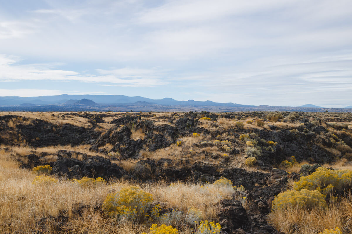
Entrance runs $25 per vehicle and is good for seven days. If you’re stringing together several federal parks this trip, an America the Beautiful pass covers it.
So, which goes first on your list: walking across a mountain of glass or crawling through a lava tube? Up here, you get both in one weekend. Tell us which one you’d hit first!
Trip tips: grab a rental car to get out here, lock in your hotel before the good rooms are gone, or skip both and book a camper van and sleep right by the lake instead.
Rules and fees change, so always confirm current requirements before you go.