This California mountain rises a vertical mile in just 3 miles from the Pacific, and the road up only opens half the year
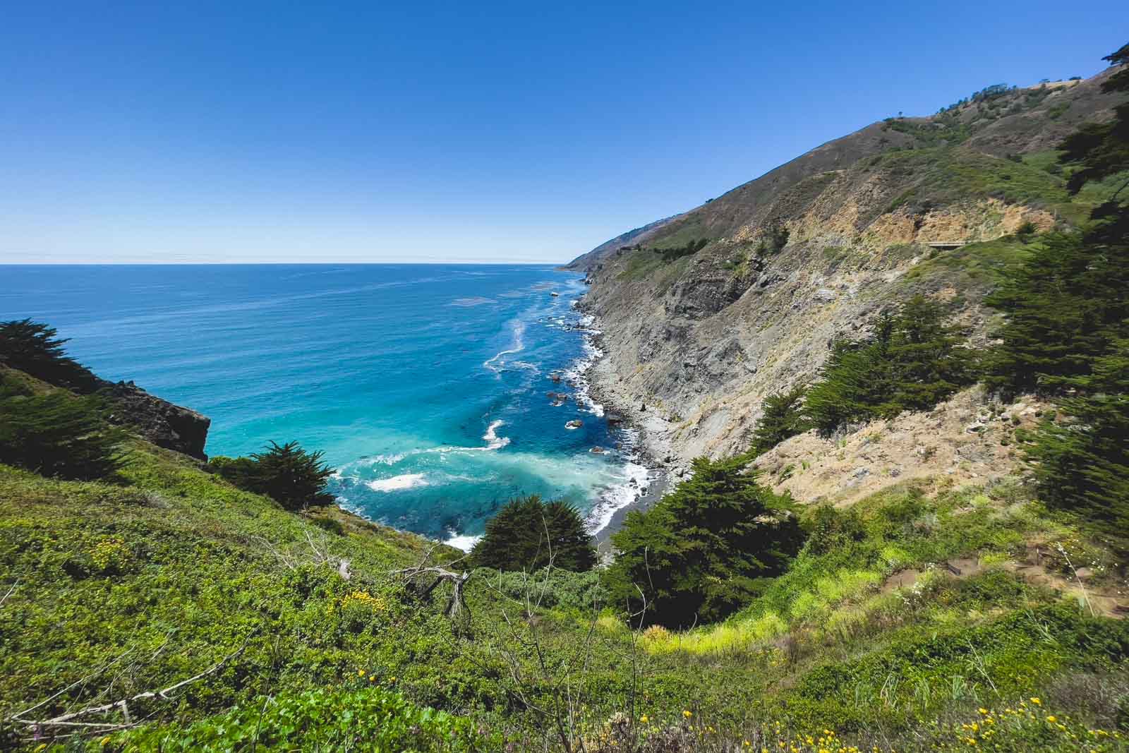
Stand on top of Cone Peak and you’re looking at the Pacific from 5,155 feet up, less than three miles from the water as the crow flies. That’s one of the steepest ocean-to-summit climbs anywhere in the contiguous US. Most people driving Highway 1 through Big Sur have no idea it’s sitting right above them.
Cone Peak is the second-highest point in the Santa Lucia Range, but it’s the tallest one with a real view of the water — everything taller sits further inland, out of sight of the coast. On a clear day you get the curve of the shoreline in both directions, plus the Ventana Wilderness rolling out behind you.
How to actually reach it
The standard route runs through Nacimiento-Fergusson Road, the paved mountain pass connecting Highway 1 to Highway 101 south of Big Sur. Turn onto Cone Peak Road and it’s roughly 5.5 miles of dirt to a trailhead sitting about 2.5 miles below the summit — steep, but short.
Here’s the catch: Cone Peak Road only reliably opens for a few months each summer, and access on this stretch of coast changes fast after fire season. Call the Monterey Ranger District or check current conditions before you drive out — that goes for anything you read online, this included.
Want to skip the drive entirely? You can walk in from Highway 1 at Kirk Creek, following the Vicente Flat Trail east into the Ventana Wilderness before climbing to the peak — about 11.5 miles one way, so plan on an overnight. A campfire ban is in effect across Los Padres backcountry camps through January 2027, so bring a stove if you’re staying out.
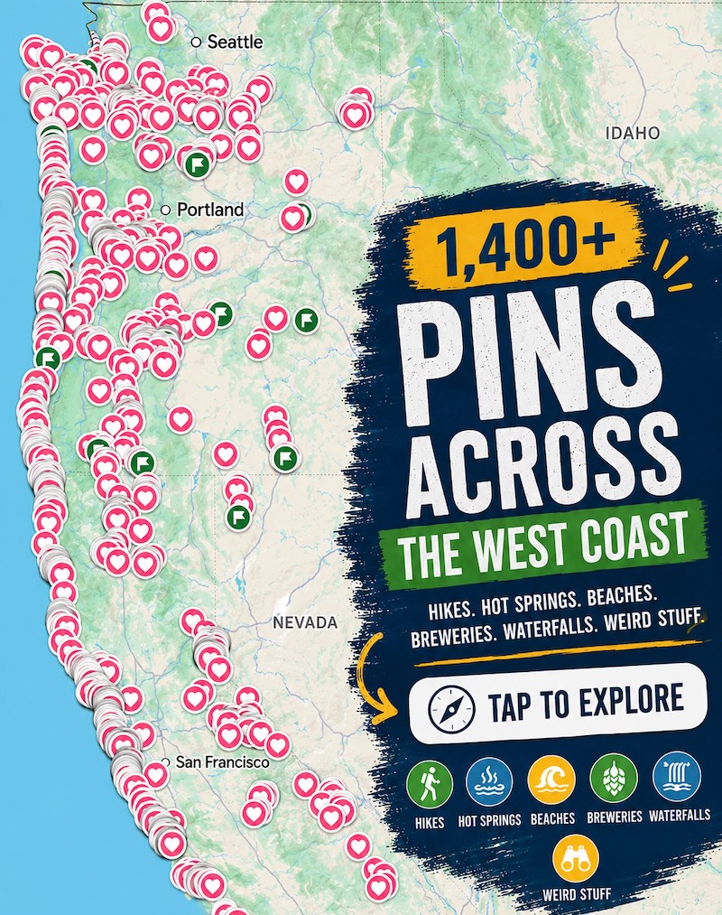
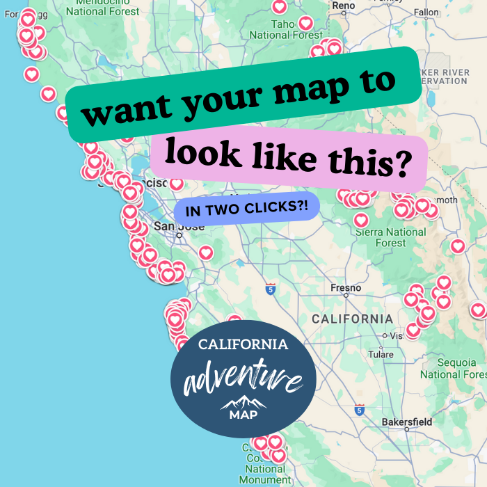
📍 GET THE ULTIMATE CALIFORNIA MAP 🗺️
Get our curated list of the best adventures and things to do north of LA loaded onto your maps with just two clicks!
✅ Waterfalls ✅ Hikes ✅ Viewpoints
✅ National Parks ✅ 1400+ Pins

What the hike is actually like
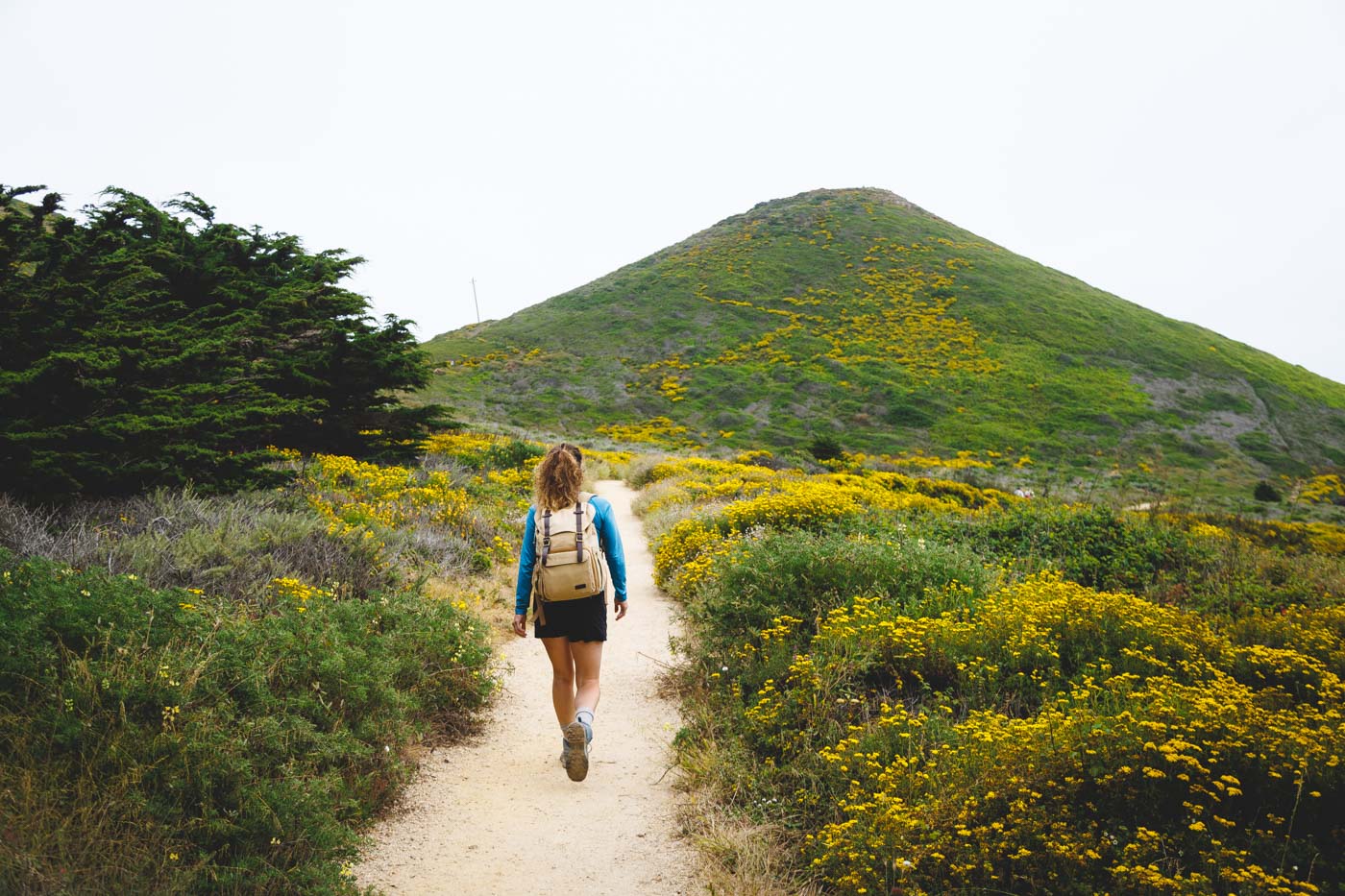
From the Nacimiento-Fergusson trailhead, it’s about 2.5 miles to the summit, and nearly every one of them climbs. There’s no real shade up here — this is chaparral and scattered pine, not redwood canopy — so an early start beats the afternoon heat every time.
Prefer to do the whole thing as one big loop instead of an out-and-back? That version runs about 16.3 miles with roughly 5,000 feet of climbing. Either way, the payoff is a 360-degree view that few Big Sur visitors ever earn: ocean to the west, the jagged spine of the Santa Lucia Range to the east, and on the clearest days, the Sierra Nevada floating on the horizon.
If you’d rather stay closer to the highway, Big Sur’s greatest hits are all still there waiting. Cone Peak is just for the days you want to earn the view instead of driving straight to it.
Trip tips: grab a rental car to reach the trailhead, book a hotel in Big Sur or Cambria the night before, or skip both and bring a camper van instead.
Rules and fees change — always confirm current requirements before you go.