This Central Coast cove was a Prohibition bootlegger drop, and the cliff trail above it is an easy 4-mile walk
Some of the wildest coastline on California’s Central Coast has a rap sheet. During Prohibition, the little beach at the heart of Montaña de Oro State Park went by Smuggler’s Cove, and the cargo coming ashore after dark wasn’t butter.
Today it’s called Spooner’s Cove, and the worst thing you’ll sneak out of here is sand in your shoes. Right above it, the Bluff Trail traces the cliff edge for about two miles, and it’s one of the easiest big-payoff walks on this entire stretch of coast.
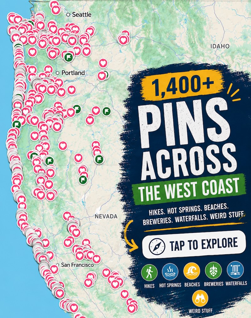
Psst, we made you a West Coast Adventure Map. Nearly 1,900 of our favorite spots, already pinned, ready to load into Google Maps in two clicks: grab it here.
How a dairy cove became Smuggler’s Cove
Montaña de Oro covers more than 8,000 acres just south of Los Osos, with about seven miles of shoreline plus dunes, canyons, and peaks. Before it was a park, a big chunk of it was ranch land.
Alden Spooner Jr. began leasing and then buying land here in 1892, and his sons later founded the Pecho Ranch & Stock Co., a dairy known for its butter. With few roads and no railroad nearby, they shipped by sea, sliding goods down a wooden chute from the bluff to schooners waiting in the cove.
Little coves like this were called doghole ports, barely big enough for a small ship to squeeze into. That made them perfect for a very different kind of cargo once Prohibition kicked in.
📍 GET THE ULTIMATE CALIFORNIA MAP 🗺️
Get our curated list of the best adventures and things to do north of LA loaded onto your maps with just two clicks!
✅ Waterfalls ✅ Hikes ✅ Viewpoints
✅ National Parks ✅ 1400+ Pins
Rumrunners, night boats, and a back road over the hills
Bigger boats reportedly waited offshore beyond the three-mile limit while small boats ran the liquor onto the beach at night. From there, trucks hauled it out along a rough route from Coon Creek over the Irish Hills toward today’s Highway 101, then south to Southern California.
Local histories describe the cove as a dangerous place to be after dark in those years. Can you picture it, lanterns off, boats grinding onto the sand while the surf covered the noise?
The Spooner Ranch House still stands across the road from the cove. It now serves as the park’s visitor center, with period furnishings, exhibits on the family’s early 1900s ranch life, and trail maps.

The Bluff Trail: big cliffs, barely any climbing
This one’s easy: about 4 miles round trip, out and back, with only a couple hundred feet of gentle elevation gain across the whole walk. The path is wide and mostly flat, so it’s the move when you want ocean drama without a leg day.
The trailhead sits just past Spooner’s Cove, with roadside parking along Pecho Valley Road. Within minutes you’re walking above dark, jagged cliffs, watching waves explode against offshore rocks, with Morro Bay off to the north on a clear day.
Little side paths branch off toward the drop-offs, and yes, they’re tempting. Stay well back from crumbly edges, watch for poison oak on those detours, and leave the dog at home, since dogs aren’t allowed on the park’s trails.
One heads-up: the access down to Corallina Cove is closed indefinitely after storm erosion made it unsafe. Admire it from the top instead, it’s still gorgeous from up there.

Why they call it the mountain of gold
Montaña de Oro means mountain of gold, and the name comes from spring, when wild mustard and California poppies wash the hillsides in yellow and orange. Show up in fall and the hills are more toasted than golden, but the cliffs, the coves, and the surf never take a season off.
Want to actually earn a view? Valencia Peak, the park’s high point at 1,347 feet, rises across the road from the Bluff Trail and swaps the flat stroll for a much steeper climb with panoramic views.

Make a day of it
Spooner’s Cove is the park’s most popular beach, and it’s the only one here where leashed dogs are allowed, so your pup still gets some sand time. The park is open from 6 a.m. to 10 p.m., which makes a sunset lap on the bluffs very doable.
Morro Bay is a short drive north if you want chowder and sea otters after your walk, and our guide to things to do in Morro Bay covers the rest. Hungry for more trails? Check out these hikes in San Luis Obispo.
So be honest: would you have been down on the beach with the rumrunners, or are you strictly a sunset-stroll person? Tell us which trail you’d hit first.
Trip tips: grab a rental car to get out here, lock in your hotel before the good rooms are gone, or skip both and book a camper van instead.
Rules and fees change, so always confirm current requirements before you go.