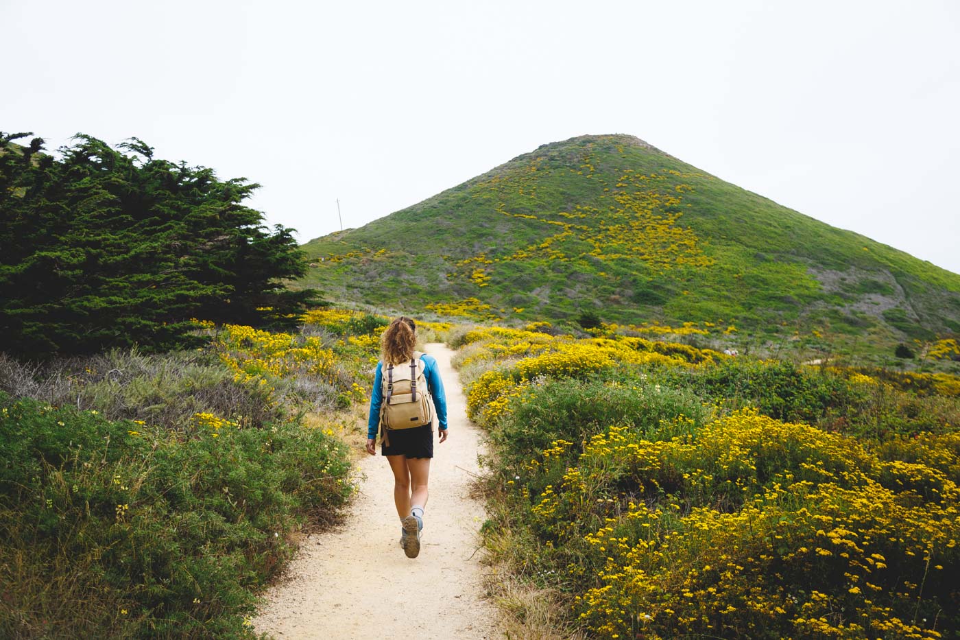
9 BEST Hikes in Big Sur
The Big Sur area is home to big hikes and big views. You could spend a week exploring the area and still not tick off all the hikes in Big Sur.
The drive along Highway 1 is truly spectacular, but to get a real feel for this incredible place, you need to get out of the car and venture on foot. Here are just a few of the best trails to check out on your Big Sur Drive.
Table of Contents
- 1. Soberanes Point and Whale Peak
- 2. Garrapata Beach and Calla Lily Hike
- 3. Creamery Meadow Bluffs Parorama and Ridge Trail Loop
- 4. Partington Cove Trail in Big Sur
- 5. Overlook Trail to Mcway Falls
- 6. Ragged Point Trail in Big Sur
- 7. Elephant Seal Vista on The Boucher Trail
- 8. Moonstone Beach Trail
- 9. Bluff Trail and Marine Terrace Trail Loop
1. Soberanes Point and Whale Peak
Distance: 1.6 miles
Type of Trail: Loop
Difficulty: Easy
Elevation Gain: 269 feet
Other important info:
- No dogs allowed
- There is no fee for this trail
If you fancy stunning 360 views, cliffside paths, and plenty of photo opportunities all rolled up into one short hike, add Soberane Point and Whale Peak to your Big Sur bucket list.

The hike takes you along the coastline, first to Soberanes Point, offering unparalleled views of the Big Sur coastline.
At this point, you will follow the Bluff trail, taking you along the sandy cliff edges, high above the waves crashing against the rocks below. Once you have taken your fill of the view, it is time to head up Whale Peak.

Don’t get put off by the word peak, as it is nothing more than a small hill, but you might as well have climbed a mountain for the views it offers, and the best thing is, it is one of the lesser-known hikes in Big Sur.
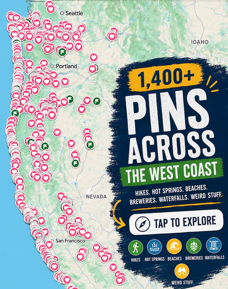
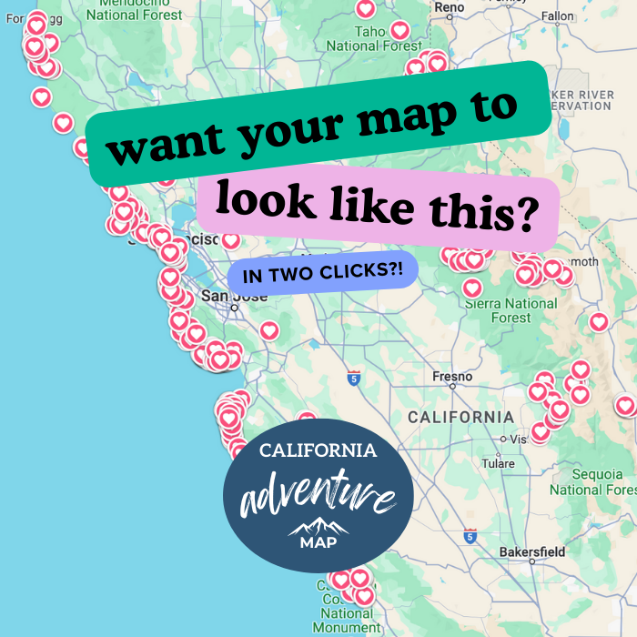
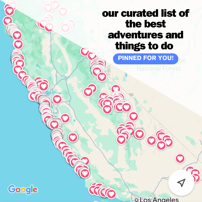
📍 GET THE ULTIMATE CALIFORNIA MAP 🗺️
Get our curated list of the best adventures and things to do north of LA loaded onto your maps with just two clicks!
✅ Waterfalls ✅ Hikes ✅ Viewpoints
✅ National Parks ✅ 1400+ Pins
2. Garrapata Beach and Calla Lily Hike
Distance: 0.9 miles
Type of Trail: Loop
Difficulty: Easy
Elevation Gain: 91 feet
Other important info:
- Leashed dogs are allowed
- There is no fee for this trail
- The best times to visit this trail are February to November
- Go at low tide to explore the beach
If you are looking for something different from your usual California Coast hike, give Garrapata Beach a go.

The highlight of this trail in Big Sur is only around during spring when a small ravine can be found along the route, filled with hundreds and hundreds of bright white calla lilies swaying in time in the breeze.
After passing through the sea of flowers and the small stream, the path carries on towards the bach, offering beautiful views of the coastline stretching for miles.

The trail heads along the cliffs for the most part, but there are a few options for getting down on the sand and seeing the crashing waves from a whole new angle.
3. Creamery Meadow Bluffs Parorama and Ridge Trail Loop
Distance: 8 miles
Type of Trail: Loop
Difficulty: Moderate
Elevation Gain: 1437 feet
Other important info:
- No dogs allowed
- Parking close to the trailhead has a $10 fee
- The area is home to seasonal closure
Head to Andrew Molera State Park for an epic, relatively long hike. From the parking lot, start heading towards the vast expanse of ocean and join the Ridge Trail, where the views out over the Big Sur Coast will take your breath away.

There is no downside to this hike in Big Sur, with cliff, beach, and ocean views most of the way. A fun little highlight is the river crossing, which can be knee-deep, so be aware if it is a cold day.
You get a little bit of everything with this trail in Big Sur, as in addition to the views and coastal views, you’ll be treated to huge coastal redwoods, thick forests, and mountains.

Because of its length, there is a good chance you could have huge stretches of the trail all to yourself.
4. Partington Cove Trail in Big Sur
Distance: 1.1 miles
Type of Trail: Out & Back
Difficulty: Moderate
Elevation Gain: 341 feet
Other important info:
- No dogs allowed
- There is a fee to enter
The Partington Cove Trail is a must-do trail in Big Sur. It is short and sweet so that it won’t take much time out of your day, and it takes you to one of the most beautiful spots in Julia Pfeiffer Burns State Park.

The hike is unique in that although there is only one starting point when you are on the trail, you can pick one out of three spurs, although we recommend checking them all out.
The main trail takes you over a scenic footbridge, through a wooden tunnel, then a rock, through huge coastal redwoods, and finally to a stunning elevated view of the bright blue waters of Partington Cove!

5. Overlook Trail to Mcway Falls
Distance: 0.4 miles
Type of Trail: Out & Back
Difficulty: Easy
Elevation Gain: 19 feet
Other important info:
- No dogs allowed
- There is a fee enter
Some people would say that if you only do one hike in Julia Pfeiffer Burns State Park, make it this one. Although we feel that all are stunning in their own right, this one is pretty special.

The paved path takes you from the parking lot, under the highway, and along a short trail to a breathtaking overlook of the iconic McWay Falls. If you have ever seen a photo of the Big Sur area, there is a good chance that McWay Falls will be featured.
The waterfall tumbles over the rocks and cliff, falling 80 feet down onto the sand below. From the overlook, you will get breathtaking views of the cove, the side panorama of the Pacific, and views of the coastal cliffs both north and south.

TIP: If you can’t find a parking space, don’t worry. Because it is such a short walk, parking spots open up often, so you won’t be waiting long.
🏨 Need a place to crash nearby?
From rustic cabins to boutique inns—check prices and availability in just a click.
6. Ragged Point Trail in Big Sur
Distance: 0.8 miles
Type of Trail: Out & Back
Difficulty: Moderate
Elevation Gain: 269 feet
Other important info:
- Leashed dogs are allowed
- There is no fee for this trail
- This trail is very steep, wear sturdy shoes
On a clear day, the views on this trail will take your breath away, but be prepared to work for them! Rugged Point Trail may only be about a mile long, but it is VERY steep, so make sure you do those stretches before heading off and wear good shoes.

Once you manage to reach the beach at the bottom of the trail, the challenging path down means there is a good chance you will have it all to yourself.
This is the wild side of California with black sands and big waves. There is also often a small waterfall cascading directly onto the beach from above, views of the towering cliffs above you, and many sea birds circling overhead.

We are not exaggerating when we say that it is steep, as you’ll descend then ascend 300 feet via narrow and rocky switchbacks, so watch your footing. It may be labeled a Nature Trail on the signage, but don’t be fooled!
7. Elephant Seal Vista on The Boucher Trail
Distance: 5.2 miles
Type of Trail: Out & Back
Difficulty: Easy
Elevation Gain: 252 feet
Other important info:
- No dogs allowed
- There is no fee for this trail
Everyone loves seeing a little nature when hiking, and you are almost guaranteed to see some along this epic hike in Big Sur.
The trail is located in Hearst San Simeon State Historic Monument and runs almost parallel to the ocean and the highway, so it is very hard to stray from the path.

The trail takes you to some of the best viewing spots for elephant seals, and there is a good chance you will be able to hear these loud creatures before you see them (trust me, they are LOUD!).
If you time it right, the grasses along the side of the trail will be filled with wildflowers, and the views of the Piedras Blancas Light Station are just a bonus.

TIP: If you want a better view of the seals, bring some binoculars to use at the viewpoints; you won’t regret it! You also don’t need to do the whole trail if you’re low on time.
8. Moonstone Beach Trail
Distance: 2 miles
Type of Trail: Out & Back
Difficulty: Easy
Elevation Gain: 29 feet
Other important info:
- Leashed dogs are allowed
- There is no fee for this trail
You can’t get much closer to the sand and surf than on the Moonstone Beach Trail. This super easy trail in Big Sur takes you along a wooden boardwalk that runs parallel to the beach, passing under the shade of eucalyptus trees.

Your surroundings teem with wildlife as you make your way along the seaside cliffs.
The great thing about the boardwalk is you don’t have to start at the trailhead; it can be accessed from anywhere on Moonstone Beach Drive, and if you did want to walk the whole thing, there are lots of places to sidetrack you, so give yourself longer than you might think you need.

Some spurs take you to lookout points for spectacular views or down to the beach. The trail is beautiful at any time of day, but if you time your walk to align with sunset, you are in for a real treat.
9. Bluff Trail and Marine Terrace Trail Loop
Distance: 1.8 miles
Type of Trail: Circular
Difficulty: Easy
Elevation Gain: 104 feet
Other important info:
- Leashed dogs are allowed
- There is no fee for this trail
If you are up for a nice easy stroll along the bluffs, then the Bluff Trail and Marine Terrace Loop Trail has got you. The trail is made up of dirt and boardwalk and is relatively flat throughout, perfect for stretching your legs and enjoying the sea air.

Half of the trail takes you along the bluffs, so watch for whales and sea otters below you. The other half takes you through scenic grasslands, where deer often come out to play.
It is peaceful, well maintained, and with easy parking, pretty much everything you want for a stress-free hike with awesome ocean views and a good chance of spotting some of the local wildlife.

Read more of our guides from around Big Sur:
- Things To Do in Big Sur: 16 Best Stops on a Big Sur Drive
- 9 BEST Hikes in Big Sur
- Guide to Garrapata State Park
- McWay Falls in Big Sur
- Partington Cove Trail in Big Sur
- 14 BEST Things to Do in Cambria
- 16 BEST Things to Do in Morro Bay
- 12 Marvelous Things To Do in Monterey
- 25 Best Things to Do in Carmel-By-The-Sea
We hope this helped you find some awesome hikes in Big Sur to tackle!