Best Road Trips in California: 8 Routes Worth Every Mile
California is, at its core, a road trip state. Always has been. The whole place was basically designed to be explored by car — a thousand miles of coastline, volcanic peaks, ancient redwood forests, scorched desert basins, and everything in between.
The hard part isn’t finding a good road trip in California. It’s picking which one. So here’s the breakdown — eight of the best California road trips, what makes each one special, how long you need, and the key stops along the way.
Buckle up.
Table of Contents
- 1. Pacific Coast Highway (Highway 1) — The Classic
- 2. The Northern California Redwoods — Avenue of the Giants & Beyond
- 3. Sierra Nevada — The Tahoe to Yosemite Run
- 4. The Sequoia & Kings Canyon Loop
- 5. Northern California Mountains — Mount Shasta & Lassen Loop
- 6. Highway 395 — The Eastern Sierra Full Run
- 7. The San Francisco Bay Area Coastal Loop
- 8. The Desert Triangle — Joshua Tree, Death Valley & the Mojave
- Planning Tips for California Road Trips
- More California Adventures
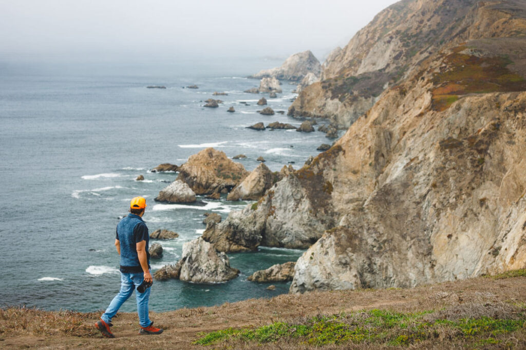
1. Pacific Coast Highway (Highway 1) — The Classic
Route: San Francisco to Los Angeles (or reverse) Distance: ~400 miles Best time: April–October (watch for Big Sur closures year-round) Time needed: 4–7 days
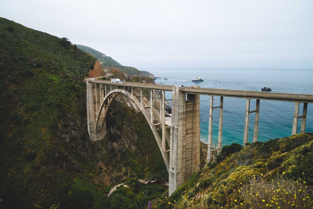
This is the one. The California road trip that defines the entire concept — Highway 1 hugging the cliff edge above the Pacific, with the ocean crashing hundreds of feet below and some of the most dramatic coastal scenery on Earth.
The full route from San Francisco south to LA passes through some genuinely extraordinary places. North of the city, Marin County and the Sonoma coast set a moody, windswept tone. Then it opens up into the iconic stretch: Carmel-by-the-Sea, Big Sur, Bixby Creek Bridge, McWay Falls, and the rugged Santa Lucia Mountains dropping straight into the Pacific.
South of Big Sur the coast mellows into Morro Bay, Pismo Beach, San Luis Obispo, and Santa Barbara before the highway curves inland and rejoins the world.
Don’t miss: Garrapata State Park for a coastal hike, Point Lobos for tide pools and bluff walks, and the Partington Cove Trail in Big Sur for a hidden cove that feels like a secret.
Heads up: Big Sur is subject to periodic road closures due to slides and washouts. Check Caltrans QuickMap before you go.
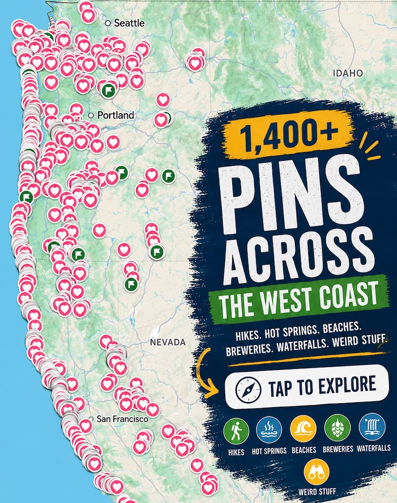
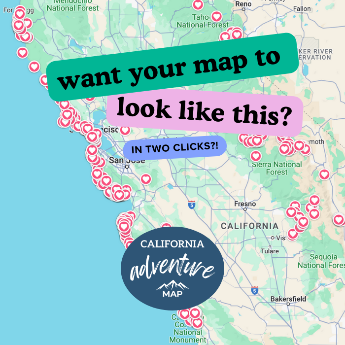
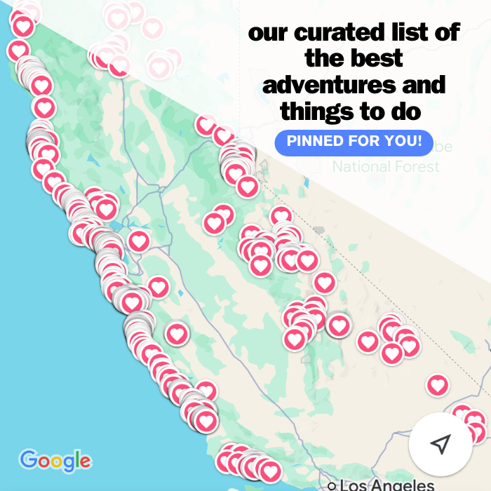
📍 GET THE ULTIMATE CALIFORNIA MAP 🗺️
Get our curated list of the best adventures and things to do north of LA loaded onto your maps with just two clicks!
✅ Waterfalls ✅ Hikes ✅ Viewpoints
✅ National Parks ✅ 1400+ Pins
2. The Northern California Redwoods — Avenue of the Giants & Beyond
Route: San Francisco north to the Oregon border via Highway 101 and Highway 1 Distance: ~350 miles (SF to Crescent City) Best time: May–October Time needed: 3–5 days
This is the road trip for anyone who wants to feel genuinely small. The Northern California redwood corridor along Highway 101 runs through some of the most ancient and awe-inspiring forest on the planet — old-growth coastal redwoods that have been standing since before the Roman Empire.
The highlight is the Avenue of the Giants — a 31-mile scenic route through Humboldt Redwoods State Park that runs alongside Highway 101 through cathedral groves of ancient trees. Go slow. Stop constantly. The trees demand it.
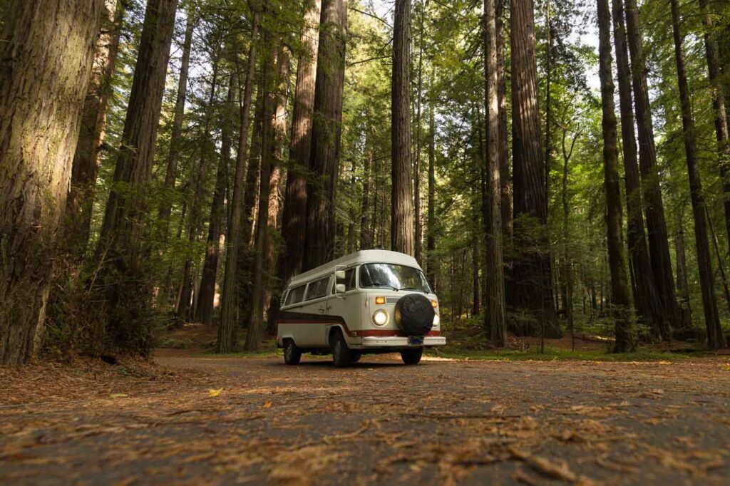
Further north, Prairie Creek Redwoods State Park, Jedediah Smith Redwoods, and Redwood National and State Parks near Crescent City deliver some of the most dramatic old-growth forest in California — including the world’s tallest trees, the coastal redwoods of the Tall Trees Grove.
Don’t miss: Crescent City at the northern end for tide pools, the Battery Point Lighthouse, and the best access to Jedediah Smith. Navarro River Redwoods State Park near Mendocino is a quieter, crowd-free redwood experience worth the detour.
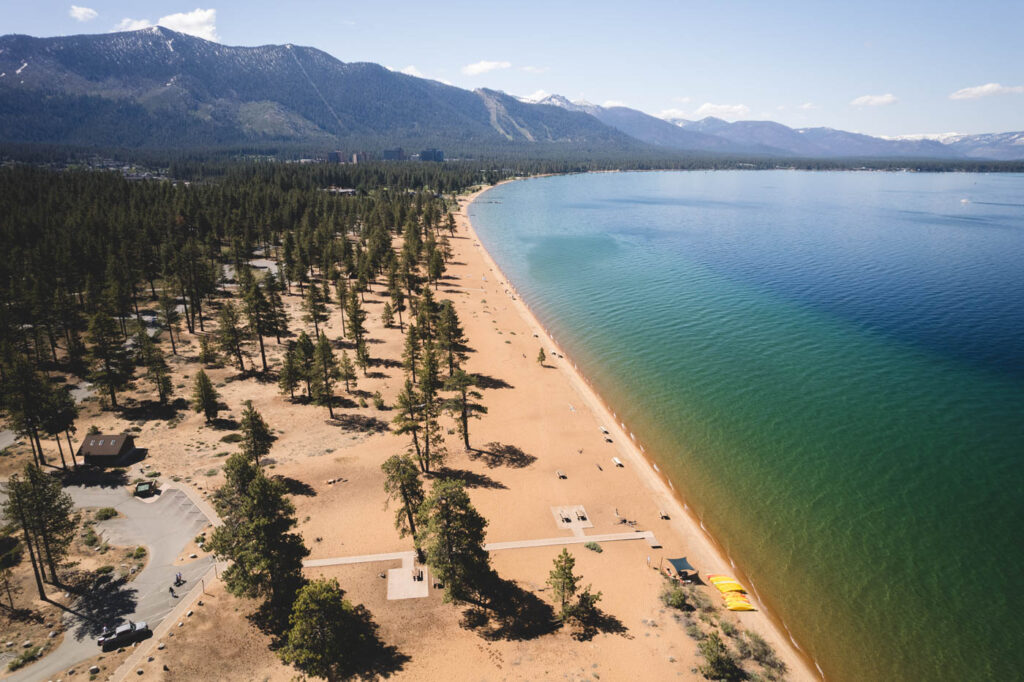
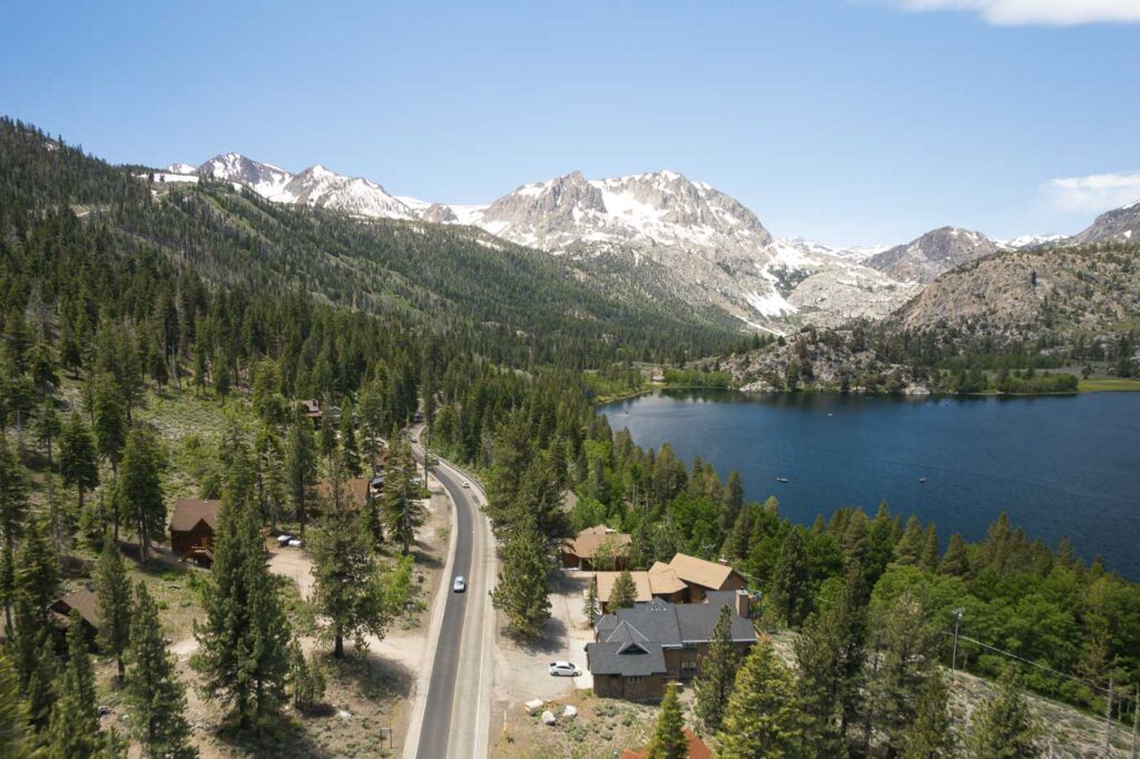
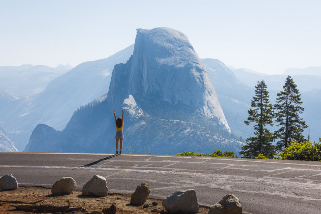
3. Sierra Nevada — The Tahoe to Yosemite Run
Route: Lake Tahoe south to Yosemite via Highway 395 or the mountain highway loop Distance: ~200–300 miles depending on route Best time: June–October (mountain roads closed in winter) Time needed: 3–5 days
The Sierra Nevada is California’s backbone — a 400-mile granite wall running north-south that contains some of the most spectacular mountain scenery in North America. The corridor between Lake Tahoe and Yosemite is the crown jewel.
Start at Lake Tahoe — emerald blue, impossibly clear, and worth at least a full day for swimming, hiking the Rubicon Trail, or watching the sun set behind the Sierra from Emerald Bay.
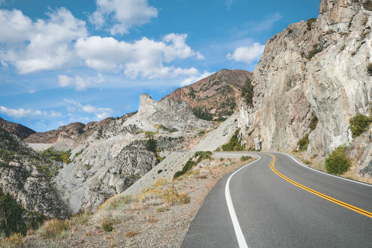
Head south on Highway 395 through the Eastern Sierra — one of the most dramatic and underdriven roads in California, passing volcanic tablelands, the June Lake Loop, Mono Lake, and the stunning Crowley Lake Columns before cutting west into Yosemite via Tioga Road.
Yosemite doesn’t need an introduction. Give it at least two days — the valley, Glacier Point, Tuolumne Meadows, and the waterfalls that peak in May and June.
Don’t miss: Alabama Hills Movie Road near Lone Pine for sunset views of the Eastern Sierra. Hot springs near Mammoth Lakes for a well-earned soak mid-trip.
Note: Tioga Road (the main Yosemite east entrance) is closed mid-November through late May. Check NPS road conditions before planning.
4. The Sequoia & Kings Canyon Loop
Route: Fresno → Kings Canyon → Sequoia → Back to Fresno via Highway 99 Distance: ~200 miles loop Best time: May–October Time needed: 2–3 days
This is the overlooked Sierra Nevada road trip — Sequoia and Kings Canyon get a fraction of Yosemite’s traffic despite offering equally jaw-dropping scenery and some of the largest living things on Earth.
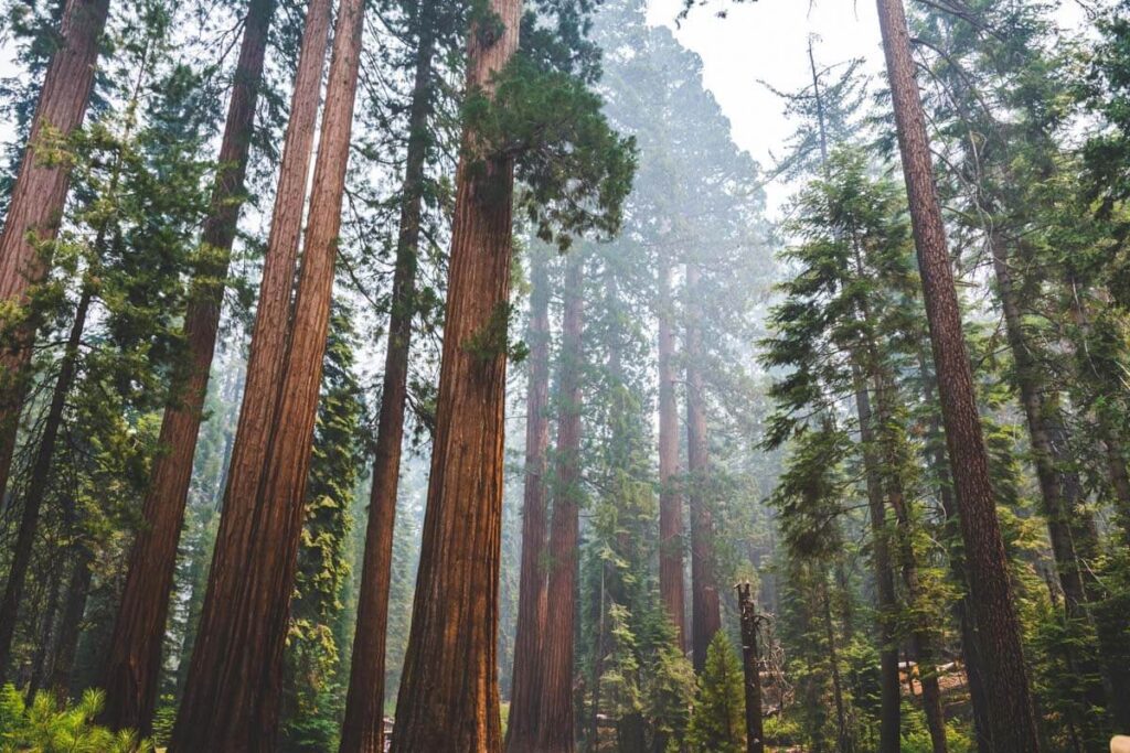
Enter Kings Canyon via Highway 180 from Fresno — the Grant Grove area has the General Grant Tree and an impressive sequoia grove before the Kings Canyon Scenic Byway drops you into one of the deepest canyons in North America. Cedar Grove at the bottom, with Zumwalt Meadow and the Mist Falls hike, is stunning.
Cross over to Sequoia via Generals Highway — the General Sherman Tree, Moro Rock, Crystal Cave, and Tokopah Falls cover the highlights. Drive Crescent Meadow Road and tunnel through the Tunnel Log on your way out.
Don’t miss: Burney Falls is a few hours north and a worthy detour for one of California’s most spectacular waterfalls if you have an extra day.
5. Northern California Mountains — Mount Shasta & Lassen Loop
Route: Redding → Mount Shasta → Lassen Volcanic National Park → Back to Redding Distance: ~250 miles loop Best time: June–October Time needed: 3–4 days
This is the California road trip that most people never take — and that’s exactly why it’s so good. The volcanic country of Northern California around Mount Shasta and Lassen is wild, dramatic, and refreshingly uncrowded.
Mount Shasta is one of the most visually commanding mountains in the US — a 14,179-foot stratovolcano that dominates the horizon for 100 miles in every direction. Lake Siskiyou at its base is a gorgeous swim stop. Castle Crags State Park offers otherworldly granite formations.
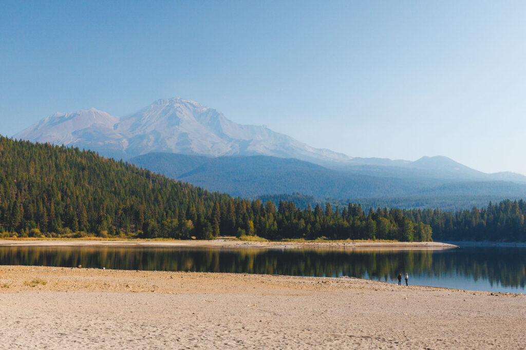
Head east to Lassen Volcanic National Park — the only place in the world where all four types of volcanoes exist in one place, with boiling mud pots, steaming fumaroles, and alpine lakes that shift from brilliant blue to sulfurous yellow. The Bumpass Hell hydrothermal area is one of the most alien landscapes in California.
Don’t miss: Burney Falls between Shasta and Lassen — a 129-foot waterfall that Theodore Roosevelt called the “Eighth Wonder of the World.” Pluto’s Cave near Mount Shasta for a lava tube adventure.
🏨 Need a place to crash nearby?
From rustic cabins to boutique inns—check prices and availability in just a click.
6. Highway 395 — The Eastern Sierra Full Run
Route: Reno (or Lee Vining) south to Lone Pine Distance: ~200 miles Best time: May–November Time needed: 2–3 days
Highway 395 through the Eastern Sierra is one of the most underrated road trips in the entire country — volcanic tablelands, ancient bristlecone pine forests, ghost towns, natural hot springs, and a wall of granite peaks to the west that makes every overlook feel absurd.
The route passes through some genuinely unique places: Mono Lake with its eerie tufa towers, the June Lake Loop for alpine lakes and small-town vibes, Mammoth Lakes for year-round adventure and hot springs, and the Crowley Lake Columns — a surreal geological formation that went viral for good reason.
The drive ends at Lone Pine with the Alabama Hills — a film location for over 400 movies, with otherworldly boulder formations framing views of Mount Whitney, the tallest peak in the contiguous US.
Don’t miss: Ancient Bristlecone Pine Forest outside Big Pine — the oldest living trees on Earth, some over 5,000 years old. Worth the detour up White Mountain Road.
7. The San Francisco Bay Area Coastal Loop
Route: San Francisco → Marin → Point Reyes → Sonoma Coast → Back to SF Distance: ~200 miles loop Best time: Year-round (Sonoma coast is good even in winter) Time needed: 2–3 days
This is the weekend road trip for Bay Area residents and visitors — a spectacular coastal loop north of the Golden Gate that packs an enormous amount of beauty into a small geographic area.
Cross the Golden Gate Bridge and head north through Marin — Mount Tamalpais, Muir Woods, and the Marin Headlands all deliver outstanding coastal hiking within an hour of the city.
Continue north to Point Reyes National Seashore — one of California’s most stunning and least-visited national parks, with dramatic headlands, beautiful beaches, a working lighthouse, and the best whale watching in Northern California in winter.
Loop back south via the Sonoma coast — Salt Point State Park for tide pools and abalone diving, Sonoma Coast State Park for rugged beaches and sunset views, and Mendocino if you want to add a night further north.
Don’t miss: Tomales Bay for kayaking and the world-famous oysters at Hog Island Oyster Co. Point Reyes Lighthouse on a clear day delivers some of the best coastal views in California.
8. The Desert Triangle — Joshua Tree, Death Valley & the Mojave
Route: Los Angeles → Joshua Tree → Death Valley → Mojave → Back to LA Distance: ~600 miles loop Best time: October–April (summer temperatures are dangerous) Time needed: 4–6 days
California’s desert road trip is in a completely different category from the coastal and mountain routes — it’s raw, remote, otherworldly, and endlessly fascinating.
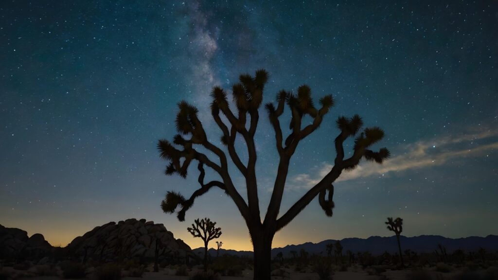
Start at Joshua Tree National Park — the collision of two deserts creating a landscape of twisted trees and stacked granite boulders. Spend at least one night camping for the stargazing.
Head north and east to Death Valley National Park — the hottest, driest, lowest place in North America, and one of the most visually dramatic landscapes on Earth. Badwater Basin (282 feet below sea level), Artist’s Palette, Zabriskie Point, and the sand dunes at Mesquite Flat are all essential stops.
Loop back through the Mojave — Mojave Lava Tube is a genuinely wild detour — before dropping back into the LA basin.
Don’t miss: Trona Pinnacles off Highway 178 — a surreal forest of calcium carbonate spires rising from a dry lake bed. One of the strangest and most spectacular landscapes in California.
Critical note: This road trip is only safe in cooler months. Death Valley in summer is genuinely life-threatening — temperatures regularly exceed 120°F. Do not attempt June through September.
Planning Tips for California Road Trips
Gas up before entering remote areas. Death Valley, the Eastern Sierra, and the redwood country all have long stretches between stations. Don’t assume there’s a gas station around the corner.
Book accommodation early. Peak season (June–August) fills up fast across California — especially Yosemite, Lake Tahoe, Big Sur, and Death Valley. Book months ahead or plan to camp.
Download offline maps. Cell service disappears in the mountains, deserts, and redwood country. Google Maps and AllTrails both offer offline downloads — use them.
Check road conditions. Big Sur closures, Tioga Road seasonal closure, Death Valley heat advisories, Sierra snow — California roads change. Caltrans QuickMap and NPS park websites are your sources.
The best time for most routes is shoulder season. May–June and September–October offer great weather, smaller crowds, and often lower prices — especially in popular parks and coastal towns.
More California Adventures
Whichever route you pick, California will deliver. For more destination inspiration, check out our guides to things to do in Big Sur, things to do in Yosemite, things to do in Lake Tahoe, and things to do in Mount Shasta to keep planning.
Happy road tripping, friend!